Understand the route’s purpose
The Salt Trail takes its name from journeys made by villagers carrying produce towards west-coast markets and returning with salt and other goods. Walking it is therefore more than a forest exercise: it follows a route connected with movement between communities. Sabah Parks identifies the visitor route as Inobong, Terian, Buayan, Kionop and Tikolod. This is the sequence to discuss when arranging your trip, rather than assuming any route called a Salt Trail is the same. Travel with interest in how the path relates to village life, while remembering that visitors are guests on a route with its own local significance.
Arrange the guided itinerary
The park publishes a total distance of 34 kilometres and recommends three days and three nights, with guides and village homestays. Confirm the actual day-by-day plan before booking, including which night falls before or after each walking section. Those headline numbers do not specify every transfer or accommodation detail. Ask Sabah Parks or your organiser about current access, registration, guide arrangements and the villages hosting your group. Do not use an online route illustration as a navigation track. The trip should be arranged as a guided crossing, with responsibilities and overnight stops clear before anyone starts walking. Ask how the group contacts its drivers if plans change.
Judge the walking realistically
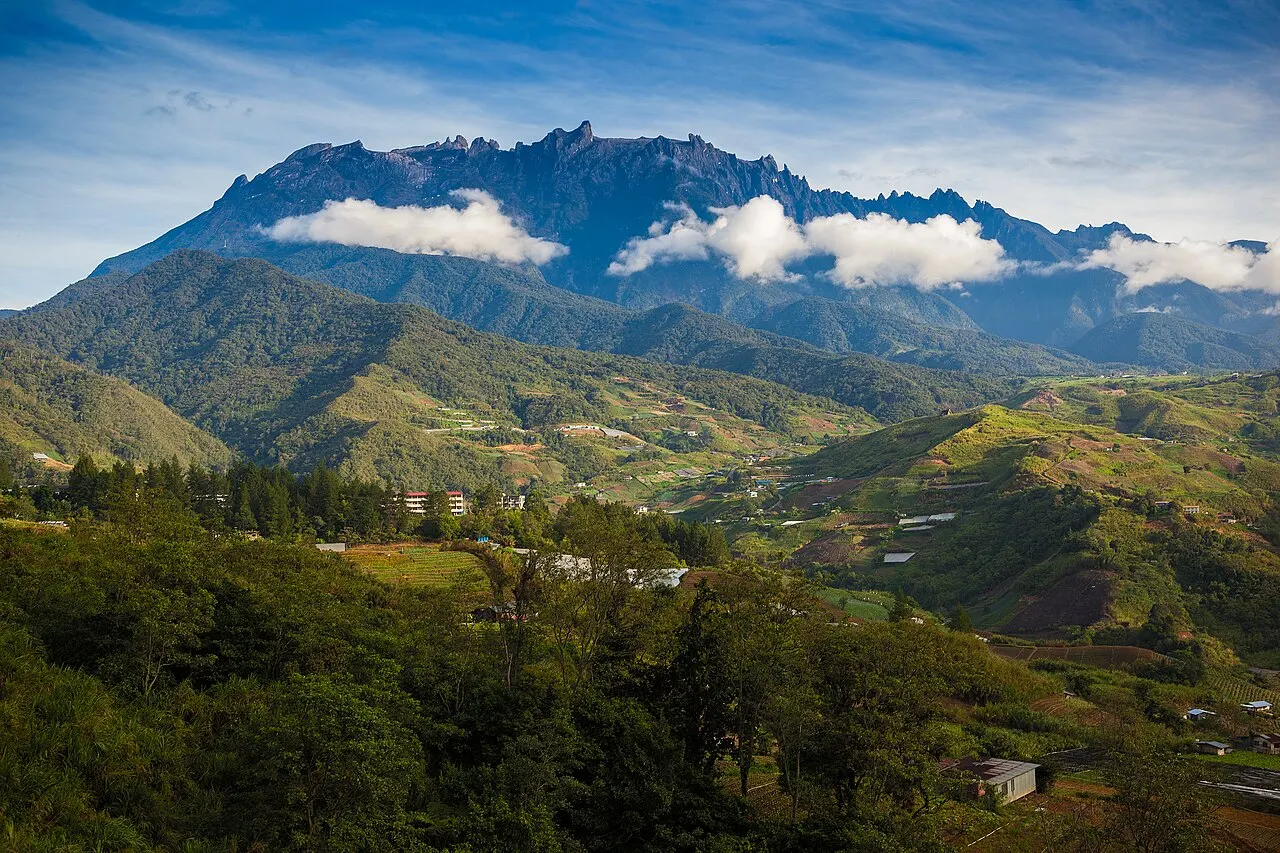
The published first section from Inobong to Terian is about ten kilometres with an estimated seven hours of walking, beginning with a climb towards Mount Kebambangan. The final Kionop-to-Tikolod section is described as about thirteen and a half kilometres and seven hours. These are substantial days, even when the distance appears manageable on paper. Ask about your group’s pace, expected pack weight and rest stops. Be honest about recent hiking experience and comfort with repeated days on uneven ground. A route that includes village stays is not necessarily a gentle cultural walk; the physical effort is central to the experience.
Make river conditions part of the decision
Sabah Parks describes river crossings on the route, including a Papar River crossing between Buayan and Kionop without a bridge and several crossings on the later section. The park specifically notes that rain can raise water levels. This is a reason to follow current guide and park decisions, not an invitation to reproduce a crossing from an old map or travel account. Ask how the itinerary changes when a river is unsuitable and whether postponement or a different route is possible. Do not pressure a guide to continue because a transfer or onward booking has been arranged for a fixed time.
Prepare for community overnight stays
Ask the organiser what each homestay provides: sleeping arrangements, bedding, washing facilities, meals and drinking water. Village hospitality should not be approached with assumptions drawn from a city hotel. Explain dietary needs early and ask what can realistically be provided. Bring only what is appropriate to the agreed walking programme, with dry protection for clothing and important belongings. Follow the hosts’ guidance about shoes, shared spaces, photography and private areas. Conversation can be an important part of the stay, but people are not obliged to turn ordinary family life into a demonstration for visitors.
Connect the two ends properly
The published route starts at Inobong Substation on the western side of the range and ends at Tikolod. Arrival and departure are therefore separate transport problems. Agree the starting pickup, the finishing collection point and where you will go after the trek. A driver needs the actual endpoint, not just a village name copied from a map. Check what happens if the walking takes longer or the route changes. Kota Kinabalu can be a planning base for the western approach, but the trek itself crosses a wider landscape. Leave enough margin after the finish to travel without rushing a final river crossing or descent.
Keep the experience responsible and rewarding
Use the guide’s advice for footwear, rain protection and the equipment needed on the current route. Stay on the agreed path, carry rubbish out and ask before photographing people or entering private spaces. The park’s description is useful preparation, but today’s conditions and the hosts’ arrangements determine the actual visit. Compare packages by their guide, homestays, meals, route permissions and transfers rather than only a price per person. A successful Salt Trail journey combines sustained walking with respectful time in the villages, allowing the route’s history and present-day use to become part of what you learn.