
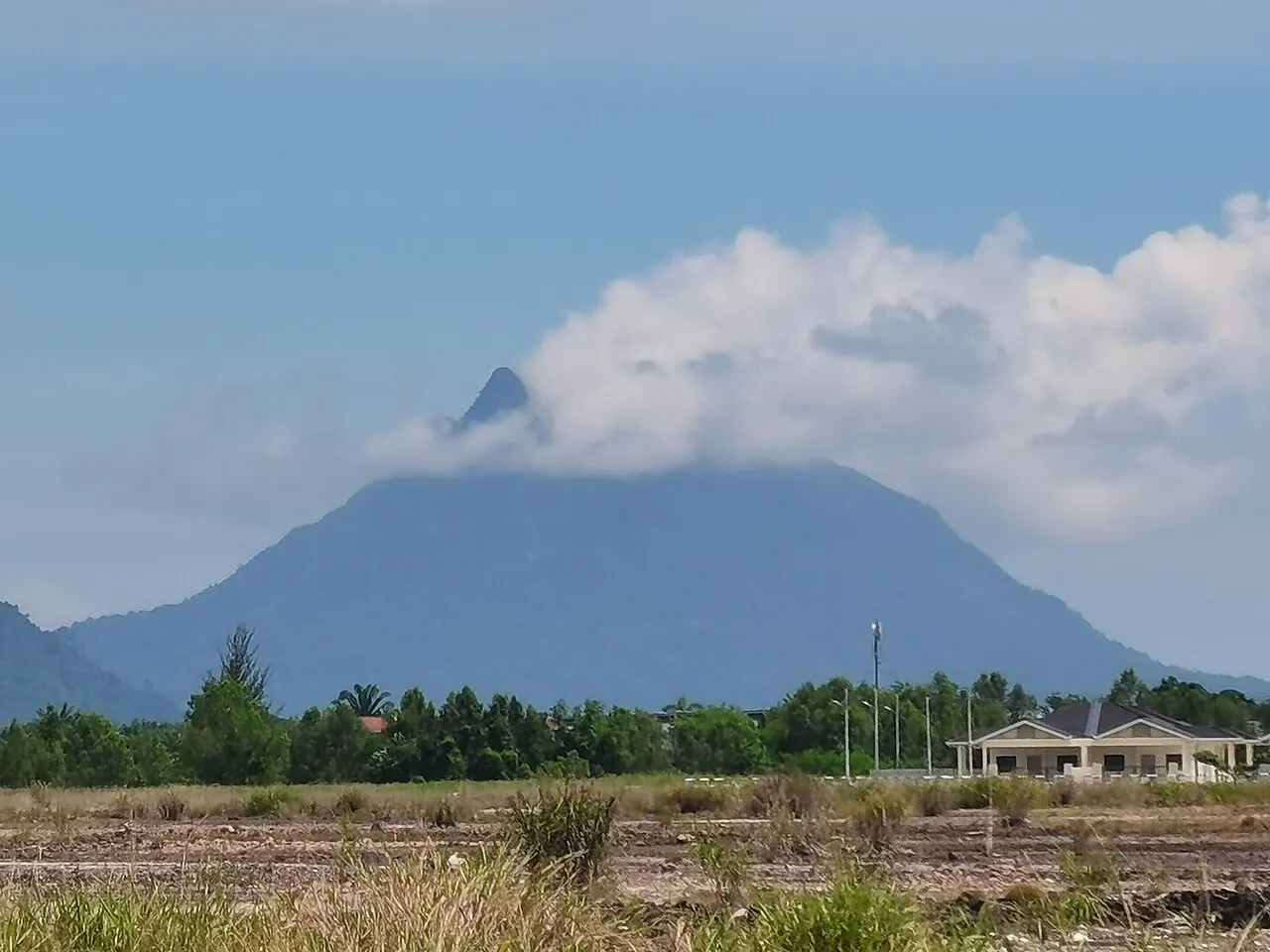
A mountain day beside the coast
Mount Santubong rises above the Damai peninsula north of Kuching, giving the coastal landscape its unmistakable profile. The national park authority places its summit at 810 metres. That height can sound modest beside Borneo's larger mountains, but it is not a reliable measure of the effort involved. The climb is concentrated into steep forest terrain, and every metre gained has to be descended again before the park's return deadline.
The purpose of this outing is the guided summit route. A mangrove cruise beneath the mountain, a short forest walk and a resort stay are different experiences, even when a booking page lists Mount Santubong as a stop. Check that the programme explicitly describes the ascent and descent. The mountain's outline is impressive from below; reaching the top requires a separate decision about fitness, weather and time.
Understanding the physical commitment
A current operator describes a five- to eight-hour hike, depending on fitness and conditions. Expect roots, rocks and steeper upper sections assisted by ladders or fixed ropes. The physical challenge is not simply keeping up a walking pace: it also involves secure foot placement, using your hands and remaining attentive when tired. This is a poor choice if your ideal forest outing is a gentle stroll with frequent easy exits.
The descent deserves as much attention as the climb. Tired legs, wet surfaces and a bag that shifts on your back can make downward movement slower than expected. Leave space between walkers and keep the guide informed if your pace changes. Getting to the summit is only the midpoint of the walking objective. A deliberate turnaround before the top can still be the right outcome for the group.
Starting and turning around
The operator requires registration at the ranger station and schedules the trip around the national park's return cutoff. Its published programme currently names 3.30pm as the time by which visitors must reach the endpoint. Treat the day's ranger instructions as authoritative: departure windows, trail availability and deadlines can change. Start with enough margin to complete the route rather than assuming an early pickup guarantees a summit.
The same operator warns that the trail can close during the monsoon under park directions. Confirm current trail access with the park before arranging the climb. Rain can affect grip, visibility and the practicality of the upper sections. Respect a closure or turnaround instruction immediately. A clear morning does not override a park decision based on broader conditions.
A guide and a connected transfer
Kuching provides a convenient accommodation base; staying around Damai can put you closer to the mountain. Neither choice eliminates the need to establish the correct meeting place and return transport. Arrange a guided hike with a clear pickup or trailhead plan, rather than relying on a driver to find a climbing group after arrival. The guide should know your recent walking experience and any concerns about heights or climbing movements.
Compare what the programme includes: guiding, transfers, entrance arrangements, lunch and drinking water are separate practical items. An advertised meal does not mean it will be available whenever you stop, so carry suitable snacks within the agreed plan. If members of your party want different levels of activity, arrange those outings independently rather than expecting one summit group to split informally along the trail.
What to carry and how to move
Choose footwear with good grip and a daypack that sits securely while you use both hands. Carry water, rain protection and enough food for the agreed duration, plus a protected phone and any personal essentials. Keep unnecessary equipment at your accommodation. A large camera or loose bag can be inconvenient on steep sections; photographs should wait until you are standing securely.
Move at a sustainable pace from the beginning. Let the guide manage spacing and the order through assisted sections, and avoid turning narrow passages into photo stops. Do not attach yourself to a rope or improvise climbing techniques without the guide's instructions. Stay on the established route, carry litter back and leave plants and animals undisturbed. Wildlife sightings are incidental rather than a promised element of this climb.
Choosing the right place in your itinerary
Allow the hike its own day and leave the evening uncomplicated. Pairing it with a fixed afternoon cruise, airport transfer or elaborate dinner reservation creates pressure that the mountain does not accommodate. A slower cultural or coastal day afterwards gives you room to recover and enjoy the area from another perspective.
For travellers with the appropriate fitness and comfort on steep ground, Santubong offers a demanding forest objective close to Kuching's wider visitor network. The appeal is the progression from coastal foothills into a rugged mountain environment, not a guaranteed panoramic photograph. Cloud may hide the view, and weather may shorten the route. Choose it because the climb itself appeals to you.