A protected range, not one trailhead
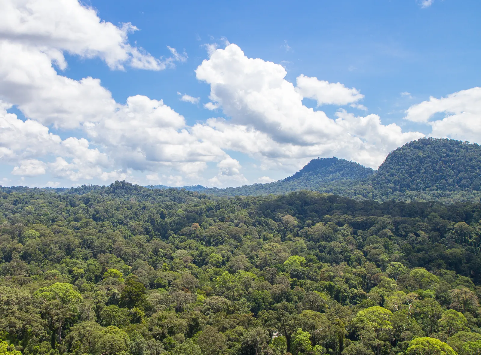
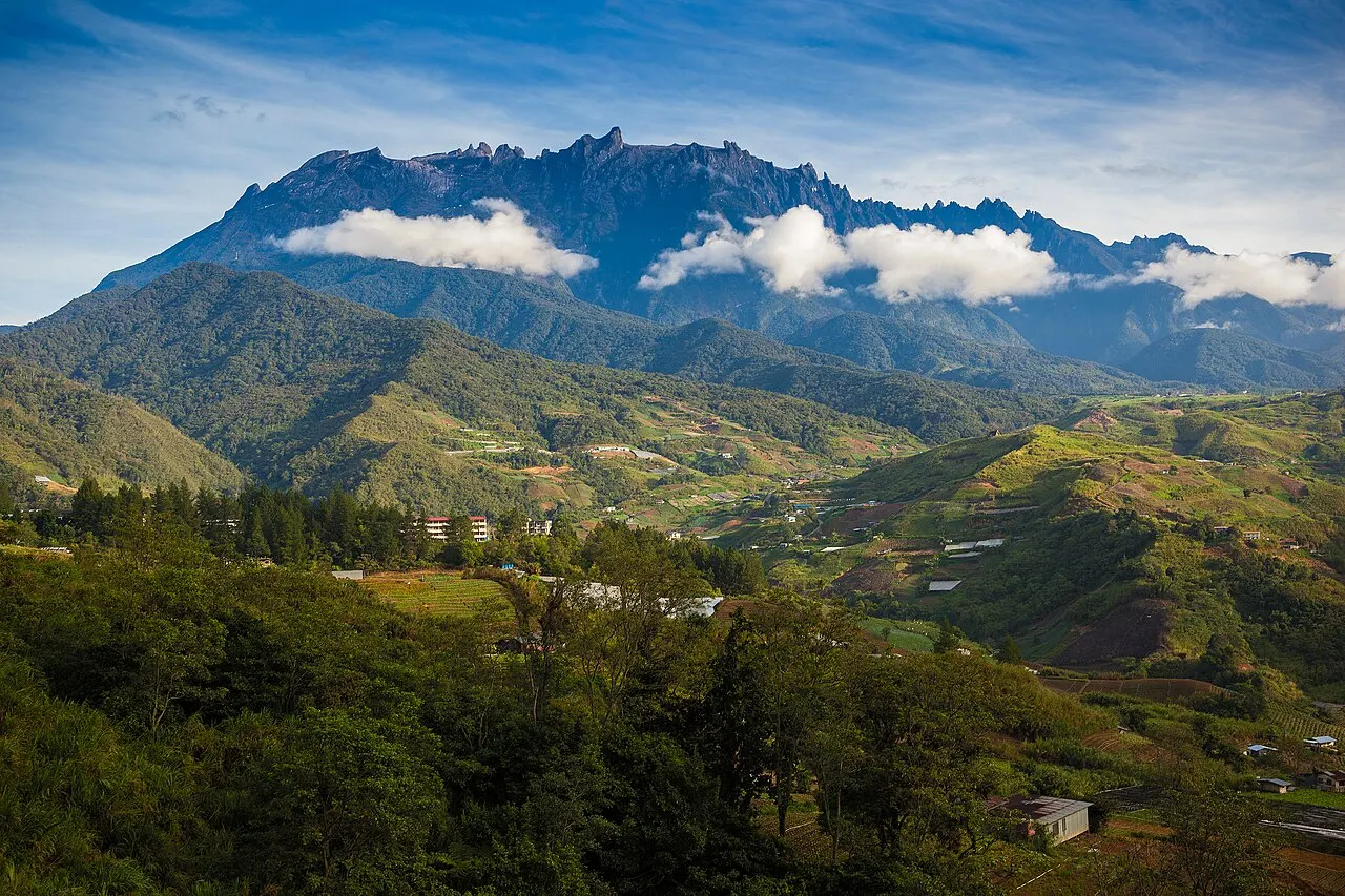
The park stretches across western Sabah and contains a sequence of forest environments at different heights. Hill dipterocarp forest gives way to higher mountain vegetation, while rain falling on the range feeds important river catchments. This combination makes Crocker valuable even when a visit stays close to a managed station. It is also important to distinguish the protected park from the larger Crocker Range Biosphere Reserve. The wider reserve includes communities and different land-use zones; a place shown on its map is not automatically part of a public park walk or an invitation to enter a village.
Choose a visitor area before travelling
Keningau is the practical town for the park headquarters, which Sabah Tourism describes as having a gallery, insectarium, fernarium, observation tower and walking trail. This makes a focused introduction possible without committing to a long expedition. Other stations serve different parts of the range, so specify the station when organising a driver or guide. A booking for one part of Crocker does not establish access elsewhere. Check which facilities are operating on your day and whether your chosen walk requires a guide, registration or a separate arrangement. Ask these questions of Sabah Parks rather than relying on a general mountain-map pin.
Read the forest at a slower pace
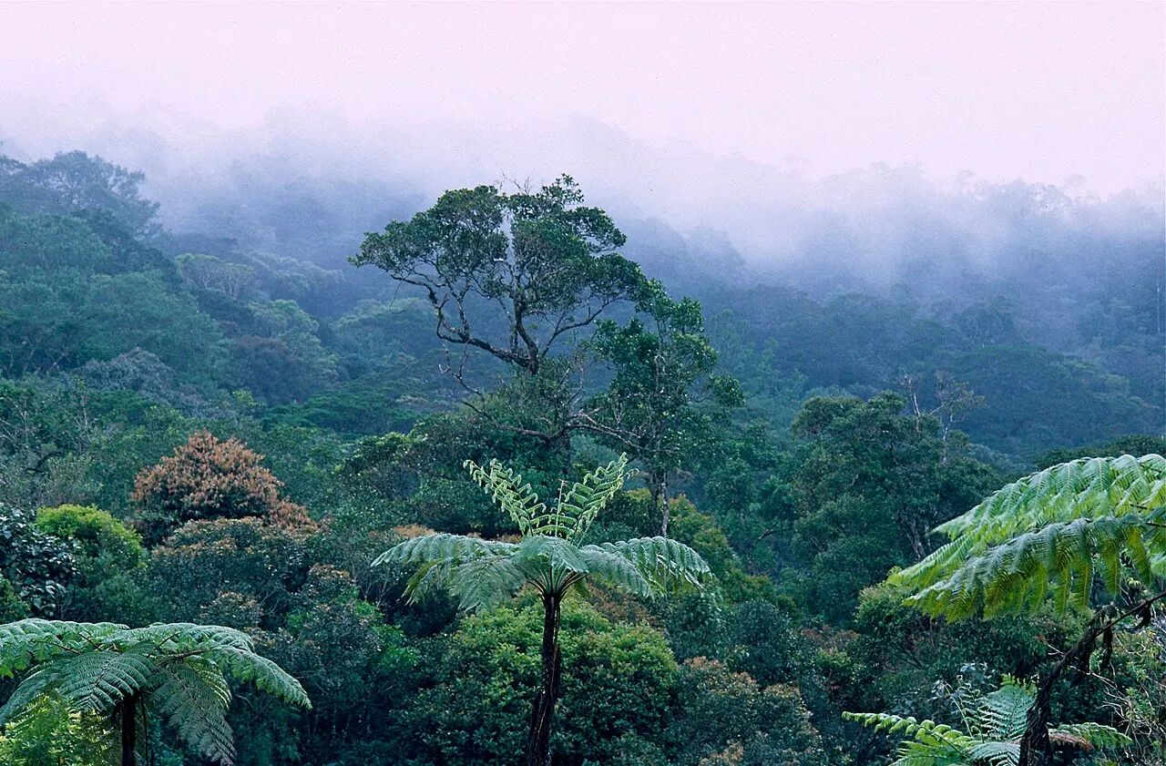
The transition between lower forest and montane forest is a useful theme for understanding the range, but no short walk represents every habitat. Near the headquarters, allow time for interpretation and the vegetation beside the route instead of treating the park as only a distant viewpoint. Forest observation rewards patience: leaf forms, canopy layers and the sound of water can explain more than a hurried checklist. Wildlife remains unpredictable. Keep to the permitted path, do not collect plants, and avoid seeking research plots or sensitive wildlife locations simply because they appear in scientific or mapping resources.
Longer routes need their own plan
Sabah Parks presents the Salt Trail and other extended routes separately from an ordinary headquarters visit. Do not append a multi-day crossing to a casual outing without checking the guide, overnight arrangements, route condition and exit transport. Rain can change footing and river conditions even when the morning begins clear. Tell the park team what experience your group has and choose a route that leaves time to return within the agreed limits. Published general opening hours are not a promise that every path remains available until the same time, nor permission to continue beyond a closure.
Use one area as the focus of a day
A half or full day at one managed visitor area is a sensible planning starting point. Overnight facilities are listed for the headquarters area, but confirm the actual room or campsite and food arrangements before relying on them. Keningau provides the town context for the headquarters approach; a wider western Sabah itinerary should allow separate travel time between stations. This is a visitor-ready park with managed entry points, not an unrestricted trekking landscape. Choosing one confirmed area and a realistic return plan is more useful than trying to connect every waterfall, ridge and community shown across the entire biosphere reserve.