Choose one part of town
Start from your accommodation in Batulicin and establish whether you are on Jalan Raya Batulicin or in the adjoining Simpang Empat neighbourhoods, including the Kodeco corridor. These addresses belong to an extended urban area, not one compact pedestrian centre. Choose a manageable group of public streets and somewhere to eat near your actual route. Ask your accommodation to identify an appropriate pickup point and locally accessible stopping places. This is an orientation plan rather than a mapped walking trail; use road transport between separated areas instead of assuming continuous pavements.
Ask about regional food
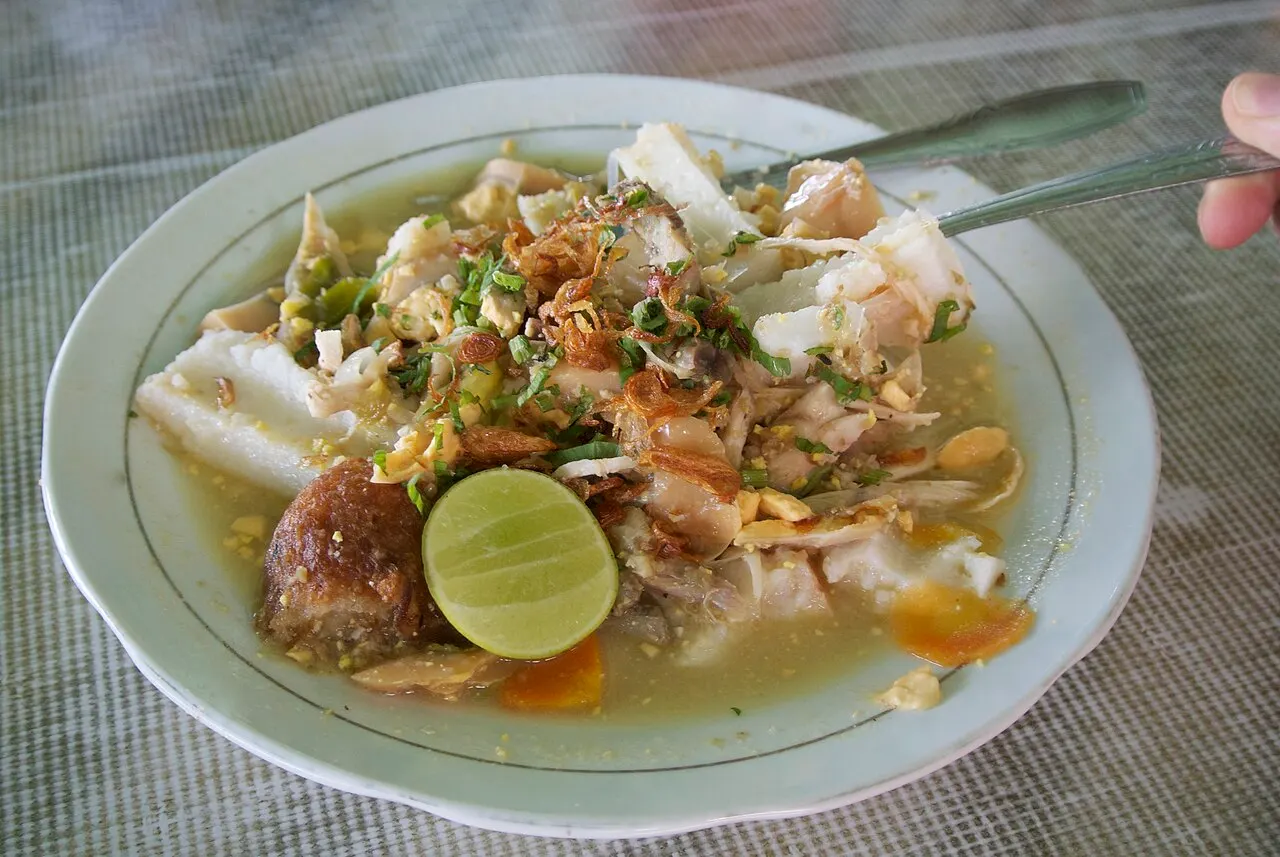
Tanah Bumbu tourism information highlights soko tumbu, nasi pundut and rabuk ikan. These are regional leads, not dishes guaranteed at every Batulicin restaurant. Ask sellers what they have that day and how it is prepared. A bamboo-cooked sweet or fish accompaniment can provide a starting point for a conversation about ingredients, but the seller should explain the actual portion you are buying. Tell them about allergies and dietary restrictions. Take a seated meal or a modest tasting according to your appetite; no tasting selection, vendor partnership or included meal is promised by this guide.
Understand the water and port setting
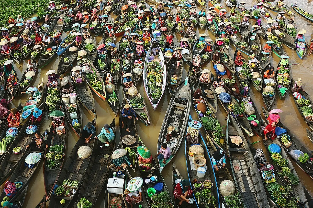
Batulicin has both a commercial port setting and a ferry connection towards Tanjung Serdang on Pulau Laut. Specify the correct facility when arranging an onward journey. Public access to streets does not grant entry to operational quays, loading areas or restricted port land. Observe waterside activity only from places clearly open to visitors and follow staff instructions. No boat ride or continuous riverside promenade is included in this outing. It does not visit Pulau Sewangi: similarly named islands create confusion, and an unverified island stop should not be added simply to make the day sound more adventurous.
Build a flexible town visit
A useful sequence is to orient yourself, confirm any ferry or road departure separately, then enjoy a meal and an optional short public-street stroll where conditions allow. Leave sheltered time for heat or rain and secure your belongings in busy areas. Pagatan, Angsana and Liang Bangkai are separate regional excursions rather than extra stops within this town visit. If continuing towards Banjarbaru or Banjarmasin, avoid crowding the departure day with distant detours. Agree transport and costs directly. This is independent editorial planning advice, not an official tour or bookable package, with no fixed opening hours, departure time or guaranteed availability.