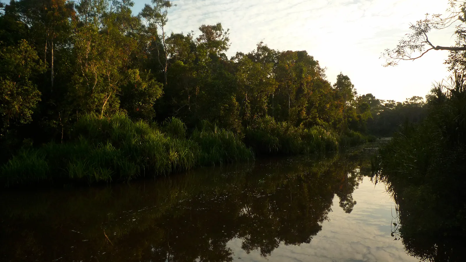
The river as a setting
Begin by looking across the Brunei River rather than searching immediately for a landmark. Kampong Ayer’s houses stand on stilts, connected by wooden paths and bridges; the settlement belongs to Bandar Seri Begawan’s urban geography. Water is the space between neighbourhoods and a route through them. A boat view makes that relationship easier to read, showing how the waterfront and water settlement face one another. Brunei Tourism places Kampong Ayer within the country’s long river history. That context gives a journey across the water meaning beyond the pleasure of seeing a different skyline.
Architecture and everyday life
On the wooden lanes, pay attention to connections as much as individual buildings. A bridge links one part of the settlement with another; a path brings people past homes rather than through a staged historical scene. The architecture can be read through this relationship between dwelling and movement. Kampong Ayer is a living community, so the visitor’s viewpoint remains only one perspective on the place. Leave room for residents’ ordinary use of shared routes, and ask before making someone the subject of a photograph. The most revealing detail may be the neighbourhood’s continuity, rather than a picturesque façade.
Sources & references · 1
Brunei Tourism · Kampong Ayer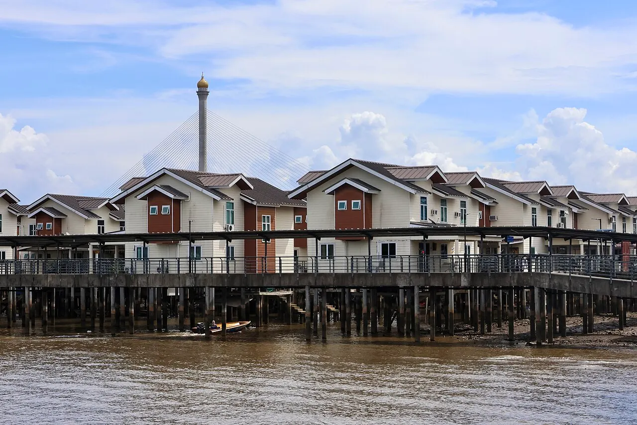
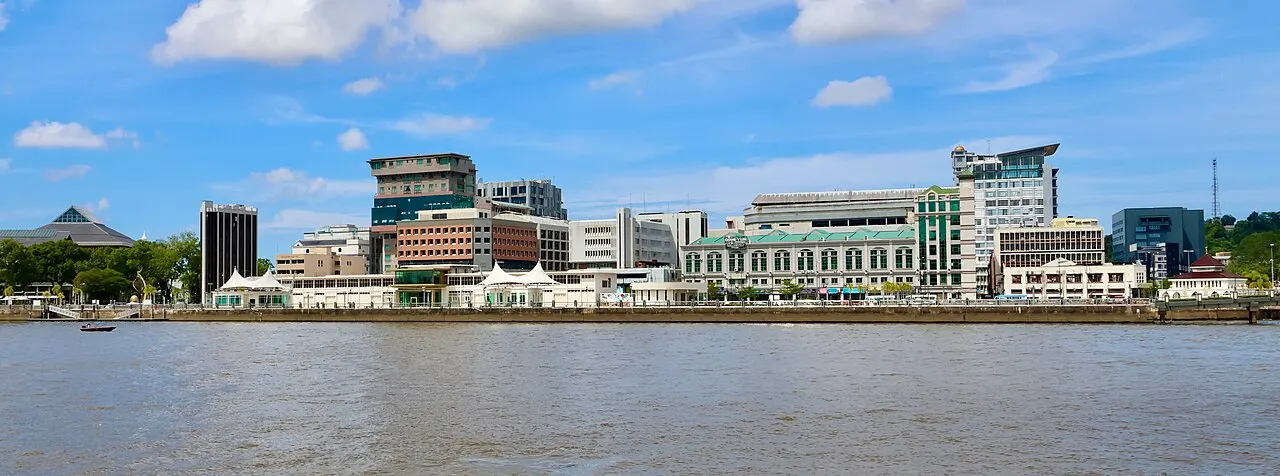
The gallery and the way back
The Cultural and Tourism Gallery offers another way into this landscape. Its artefacts, photographs and displays introduce riverside traditions, craftsmanship and community life, supplying context that a short walk cannot provide by itself. Carry those ideas back outside: a walkway becomes part of a settlement’s history, and a house belongs to a continuing way of inhabiting the river. The gallery and the neighbourhood complement each other, but they serve different purposes. One interprets heritage for visitors; the other is where people live. Keeping both in view makes Kampong Ayer part of the capital’s present as well as its history.