See the river from above
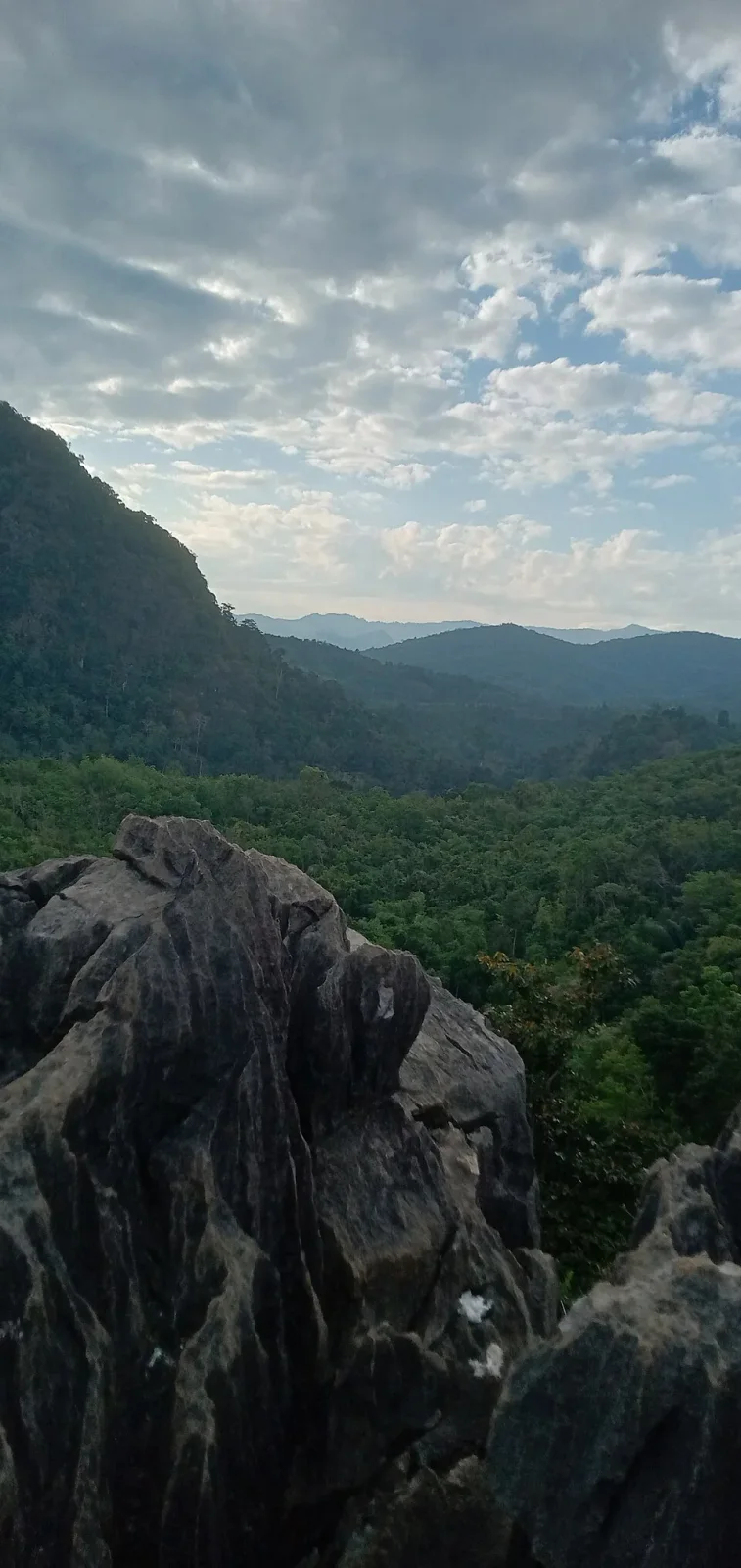
Langara belongs to the limestone landscapes of the Meratus Geopark’s northern route. From the viewpoint, the Amandit, surrounding hills and the Kantawan landscape help put a Loksado journey into perspective. After spending time beside or on the river, looking down across the valley gives a useful sense of how the routes connect.
Allow time to look beyond the most familiar photo angle. Ask a local companion to identify the river and nearby hills, and notice the contrast between cultivated land and wooded slopes. The viewpoint is the destination; there is no need to add an unplanned scramble beyond the recognised route.
Take the climb seriously
A relatively short distance can still require careful footwork. The approach includes steep ground and steps, with limestone terrain that calls for attention to where you place your feet. Discuss the current condition with a local guide or host, particularly after rain. Explain any knee, balance or mobility difficulty before deciding whether the climb suits you.
Published descriptions give different ascent times. Treat these as an indication of a short climb, not a promise that everyone will reach the top in the same number of minutes. Leave room for pauses, time at the viewpoint and the descent. Going down can demand as much concentration as going up.
Plan a comfortable outing
Wear shoes with reliable grip and carry water in a bag that leaves your hands available. Keep your load small enough to manage comfortably on steep sections. Protect your phone from rain, but put it away while moving over awkward ground. Stop in a secure place before taking photographs.
Choose weather that supports a clear view and comfortable walking. If rain, lightning or poor footing makes the outing unsuitable, change the plan with your local companion. An exposed viewpoint is not a place to wait out deteriorating conditions. Bring all litter back and avoid damaging plants or marking the rock.
Arrange the approach through Lumpangi
Langara is reached through the Lumpangi area of Loksado district. Kandangan and Loksado are useful bases for discussing transport, while Tanuhi is another nearby point in the local route descriptions. Confirm the actual parking or meeting place rather than asking a driver only for a general village name.
Agree the return pickup and clarify any entry or guiding charge. If combining the climb with another outing, allow a margin for road travel and recovery afterwards. A relaxed half-day window can be a useful planning choice, depending on your starting point, but it is not a published package duration or a reason to hurry the climb.