
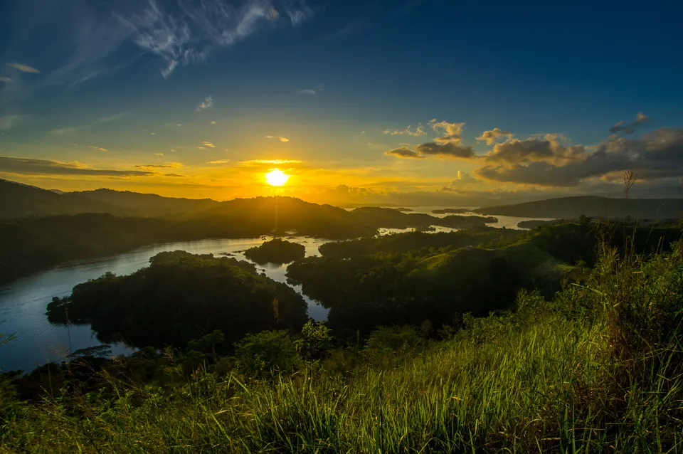
A view that explains the setting
Matang Kaladan is a geological site on the eastern route of Meratus Geopark, in Tiwingan Lama village, Aranio, Banjar Regency. From the top, the small islands of Riam Kanan become part of a wider pattern of water and rising ground. The walk offers an elevated perspective on a place that can also be experienced from a boat.
The two activities have different purposes. A hill walk is about the ascent and the view; a lake trip brings you onto the water. Plan them separately before deciding whether both fit comfortably into your day.
Know which part you are walking
The geopark places the hill about twenty-five kilometres from Banjarbaru and describes a final approach of roughly 1.6 kilometres that can be made on foot or by motorcycle. Check the current trailhead and permitted access with local organisers. The published distance should not be treated as a guaranteed round-trip measurement or a precise walking time.
If you intend to hike, say so clearly when arranging the outing. Ask about gradients, surface conditions and where you will meet your return transport. A short route can still feel demanding in heat, and an alternative motorcycle ascent is not automatically suitable for every traveller.
Take the climb at your own pace
Begin with enough water and footwear that grips the actual trail surface. Ask about recent rain, choose a pace your whole group can sustain and pause where there is safe space. Leave time to descend while visibility remains good rather than planning only around reaching the viewpoint.
At the top, stand back from edges and let other visitors pass. Look beyond the most familiar photograph: the shapes of the shoreline, the distribution of small islands and the surrounding relief can make the view interesting even when light or cloud differs from your expectations.
Landscape and local interpretation
The geopark links the hill to old metamorphic rocks and presents local storytelling associated with Riam Kanan. These are different ways of interpreting place. A local guide may be able to share the story while keeping it clearly separate from the geological explanation.
Ask questions about the landscape you can actually see, and avoid climbing away from the recognised visitor route to inspect rocks. Taking photographs and listening to an explanation are enough; there is no reason to remove stones or leave marks at the viewpoint.
Plan the return as carefully as the ascent
Confirm your starting point, the total time available, current access charges and how weather-related changes are handled. If combining the hill with a lake outing, agree separate boarding details and leave a realistic gap between activities.
The walk’s value is a particular elevated view of Riam Kanan, not a promise of perfect skies or an effortless ascent. Choose it when the day’s conditions and your group’s comfort suit the route, and keep the rest of the itinerary flexible enough to enjoy it.
