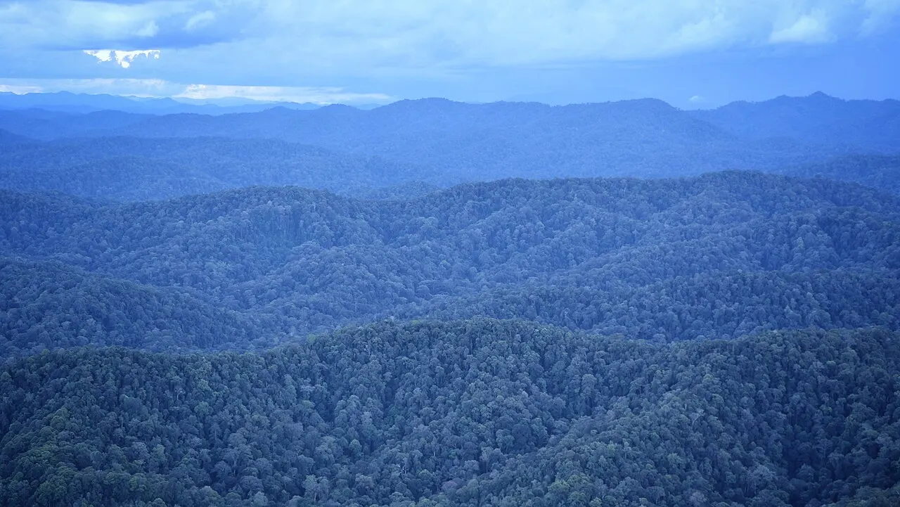
Forest connections
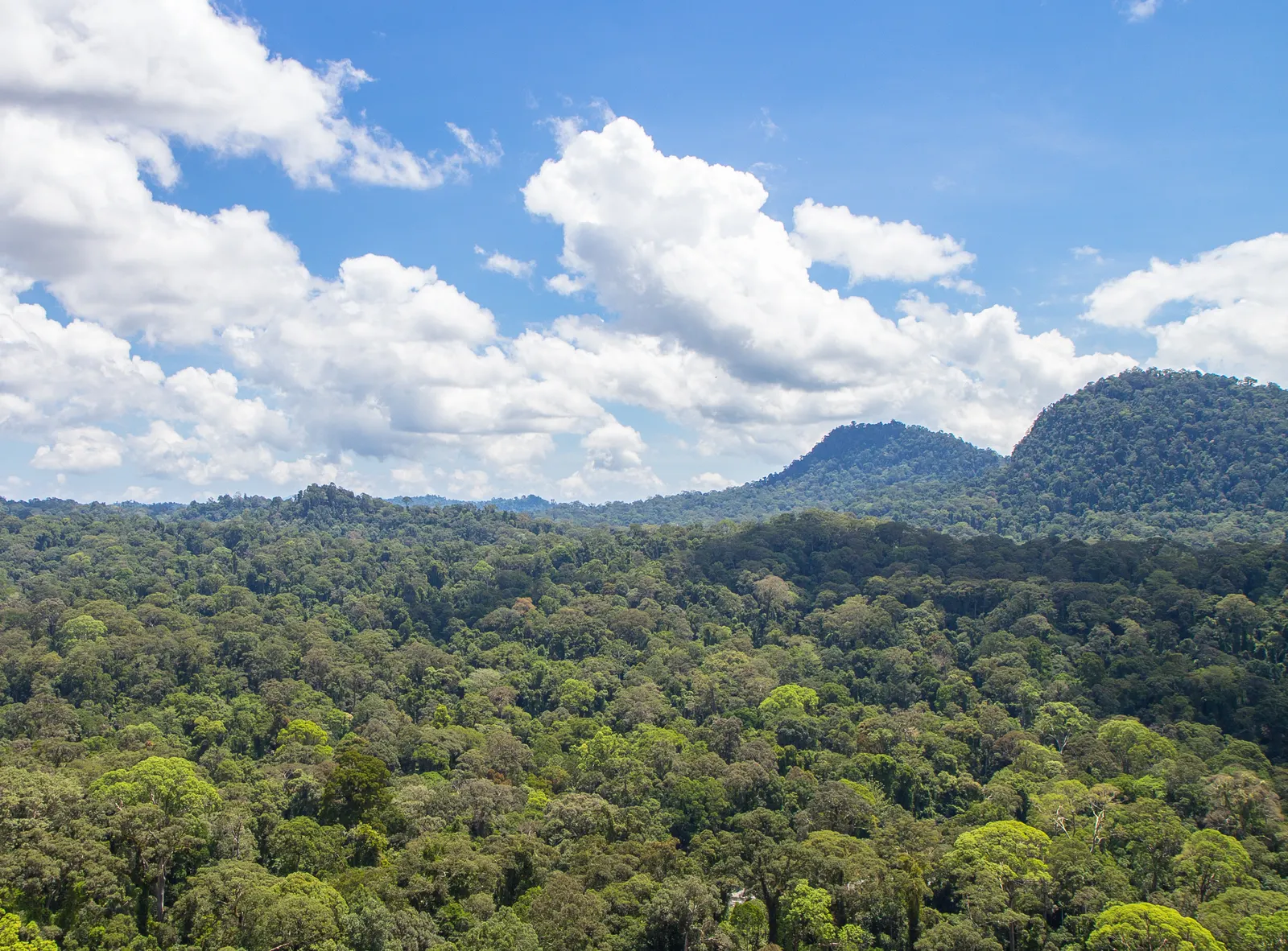
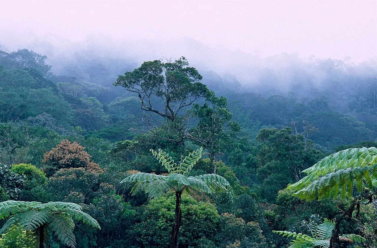
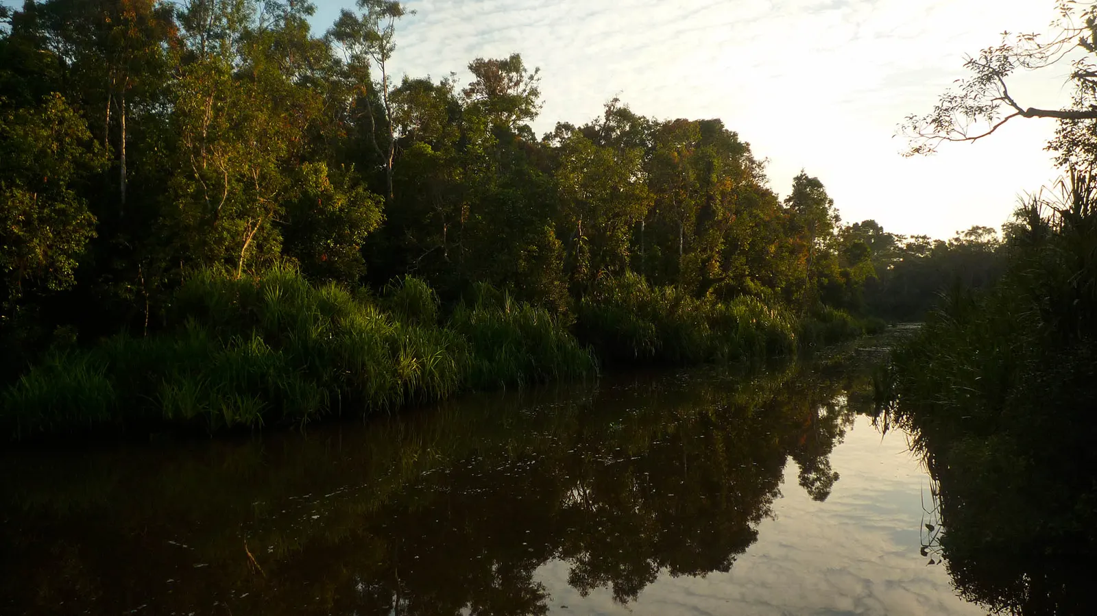
The national conservation work plan places Betung Kerihun along the border with Sarawak. Its forest types span lowland through submontane and montane settings. This diversity makes elevation and river catchments useful ways to understand the park, while the border location should not be interpreted as permission to cross internationally through forest trails.
Documented wildlife
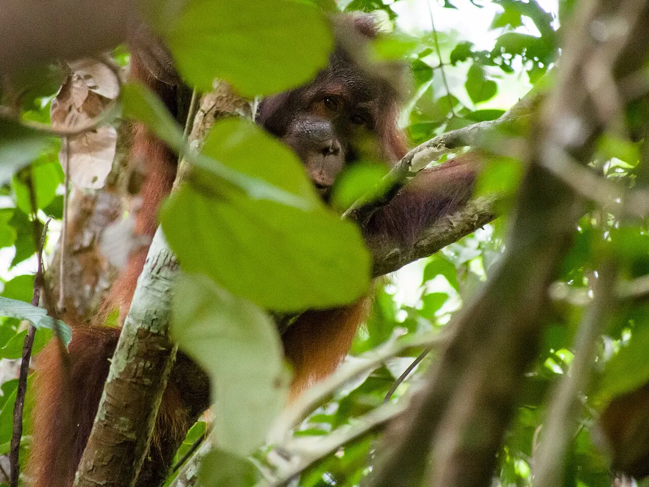
Government documentation lists Bornean orangutans in the park. Record that geographic association separately from any visitor sighting expectation. Forest condition, access route and observation opportunities vary, and a demanding journey cannot guarantee encounters. A guide can connect the orangutan's forest habitat with broader conservation questions even when animals remain out of view.
Planning the visit
Use Putussibau and the regency's named access districts as planning context, then contact the park about the actual route. Confirm guiding, permissions, water transport and accommodation together. A route into Betung Kerihun should be treated as its own journey, with time for logistics, rather than appended automatically to a Danau Sentarum lake visit.
Choosing a route
Start with Putussibau and ask which river sector the park currently accepts visitors into. A protected landscape this large cannot be reduced to a single departure jetty. Establish the return journey as carefully as the outward trip: a boat that takes you upstream does not establish a regular transport service back. No fixed visit duration is offered here because a confirmed route is the missing unit of planning. Do not book an onward connection on the assumption that all river stages run to a timetable.
Accommodation in the gateway town and sleeping arrangements on an authorised forest journey serve different purposes. The existing guide does not verify a bookable lodge inside this park. Ask the organiser to specify the actual overnight location, shelter, meals and responsibility for equipment. Community hospitality also requires agreement with the hosts; national-park permission does not replace that consent.
Reading the landscape
The links to lowland rainforest and montane forest describe an elevation gradient, not two guaranteed stops on a tour. The Bornean orangutan connection is a conservation record. Keep animal locations out of public route instructions. For a contrasting wetland journey, investigate Danau Sentarum separately: sharing a regional gateway does not make the two parks one excursion.