
Seasonal waters
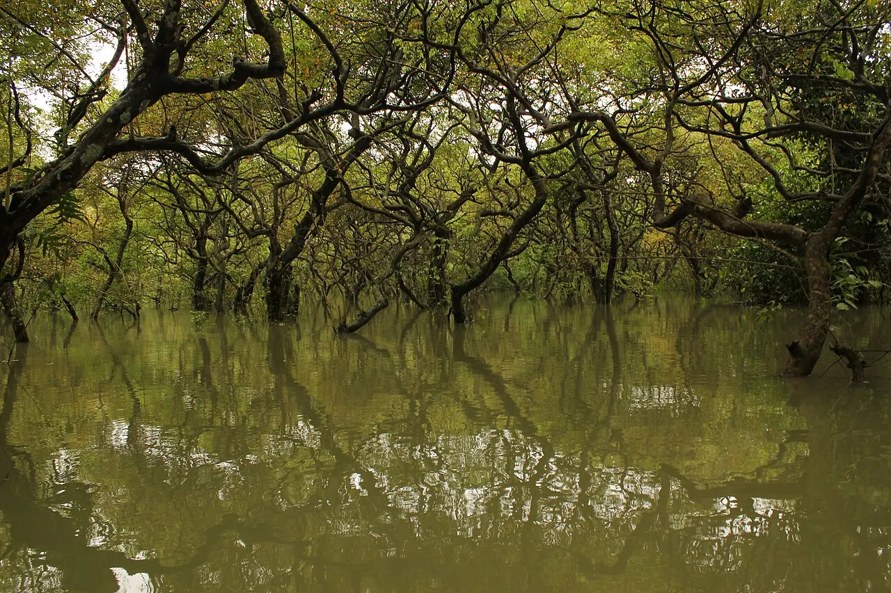
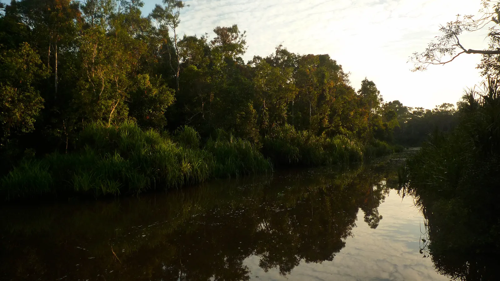
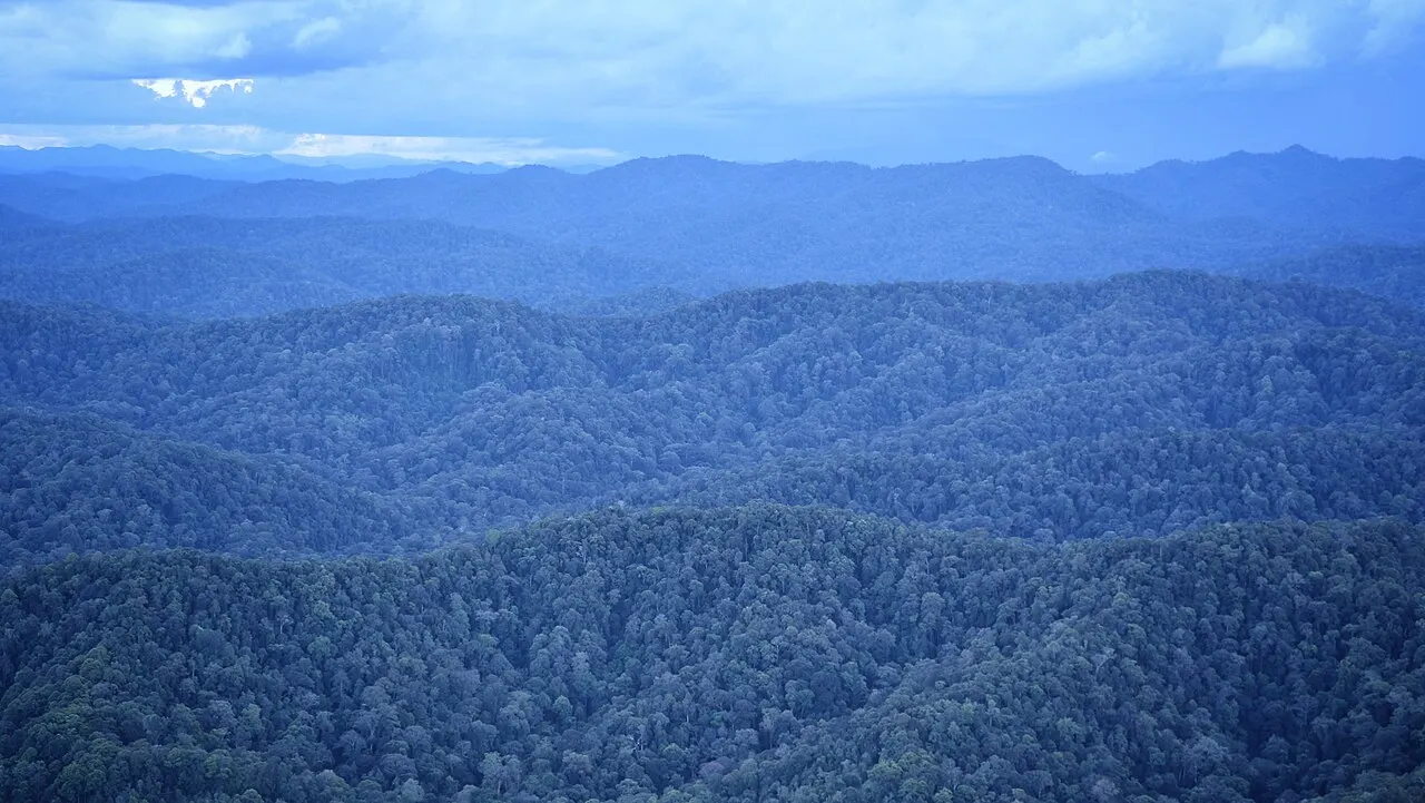
Think of Sentarum as a network of lakes, channels and swamp forest rather than one permanent lake. The Ramsar description identifies seasonal freshwater lakes alongside peat and freshwater swamp forests. As water rises or recedes, the relationship between open water and wooded ground changes; a photograph from one season cannot represent all visits.
Ecological connections
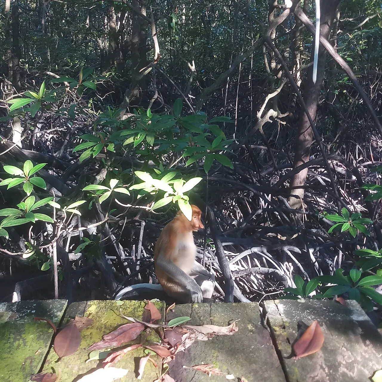
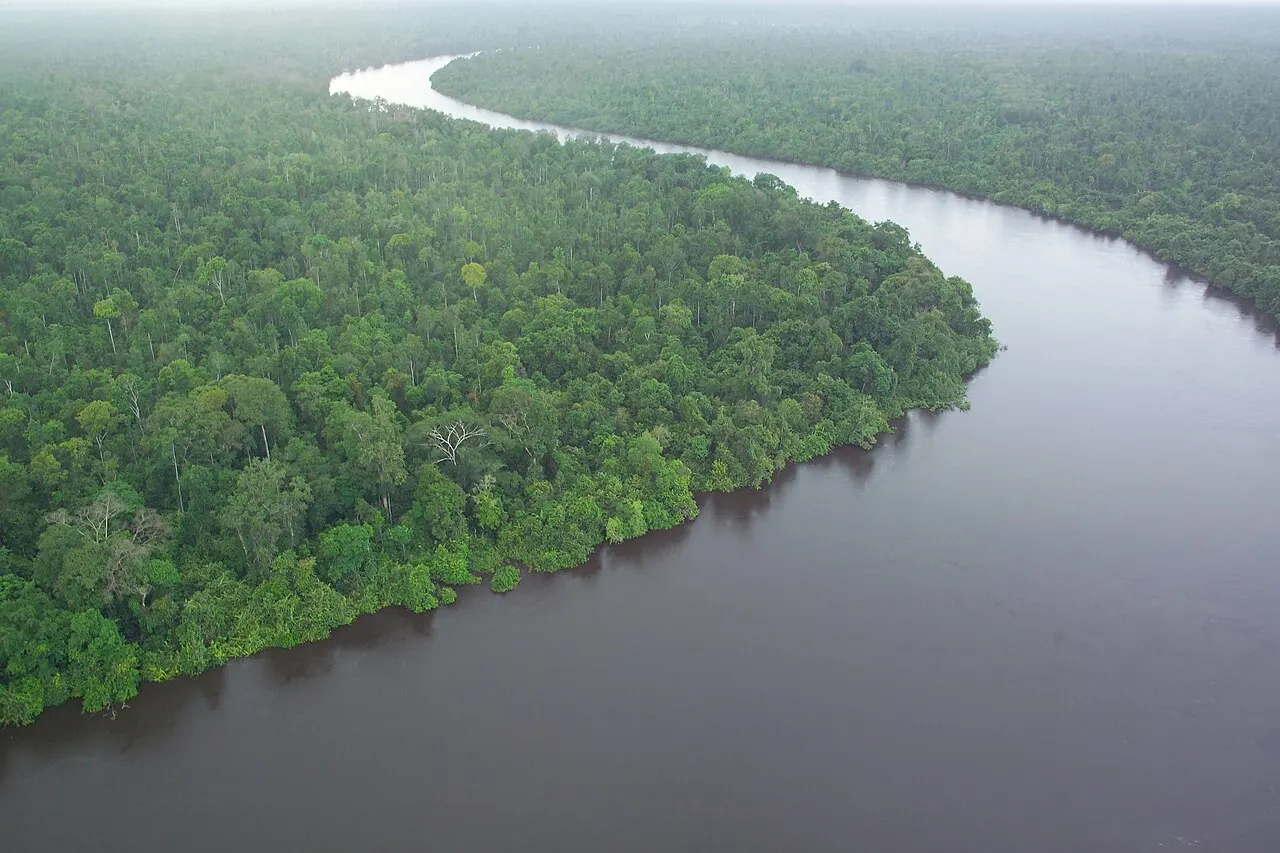
The wetland exchanges water with the Kapuas system and helps moderate river flows. Ramsar documentation also records proboscis monkeys here, supporting a habitat connection without promising sightings. The conservation story is about functioning freshwater ecosystems and the livelihoods associated with them, not simply a list of animals to collect on a trip.
Visiting
Ask the park and local operator about current water levels before deciding on boats, walking or overnight arrangements. The nearby community and river network make local knowledge central to a visit. Leave flexibility in the itinerary and distinguish a current access assessment from historical descriptions of typical seasons; rainfall does not obey an exact tourism calendar.
Choosing a route
Ask the park or local host which landing is usable at the present water level and whether the proposed visit involves open lakes, narrow channels or walking. A low-water visit can reveal a very different landscape from a flooded-season photograph. That difference is part of Sentarum's character, not automatically a failed visit. It can nevertheless change distances, boat suitability and the availability of an intended viewpoint. No universal best month or fixed journey time is stated here.
Putussibau is useful for regional preparation, while accommodation for a lake journey must be agreed at the actual route. There is no verified park lodge in this guide to book by default. Ask where you will sleep, how you return and what happens if water conditions change. Do not combine a remote lake programme with Betung Kerihun simply because both lie in Kapuas Hulu: confirm each transfer and host separately.
Reading the landscape
Follow the connections to freshwater swamp forest, peat-swamp forest and river ecosystems to understand different parts of the wetland. A documented proboscis monkey association does not mean every channel is a viewing site. The story Danau Sentarum's changing water gives landscape context without replacing current local access advice.