Protected status
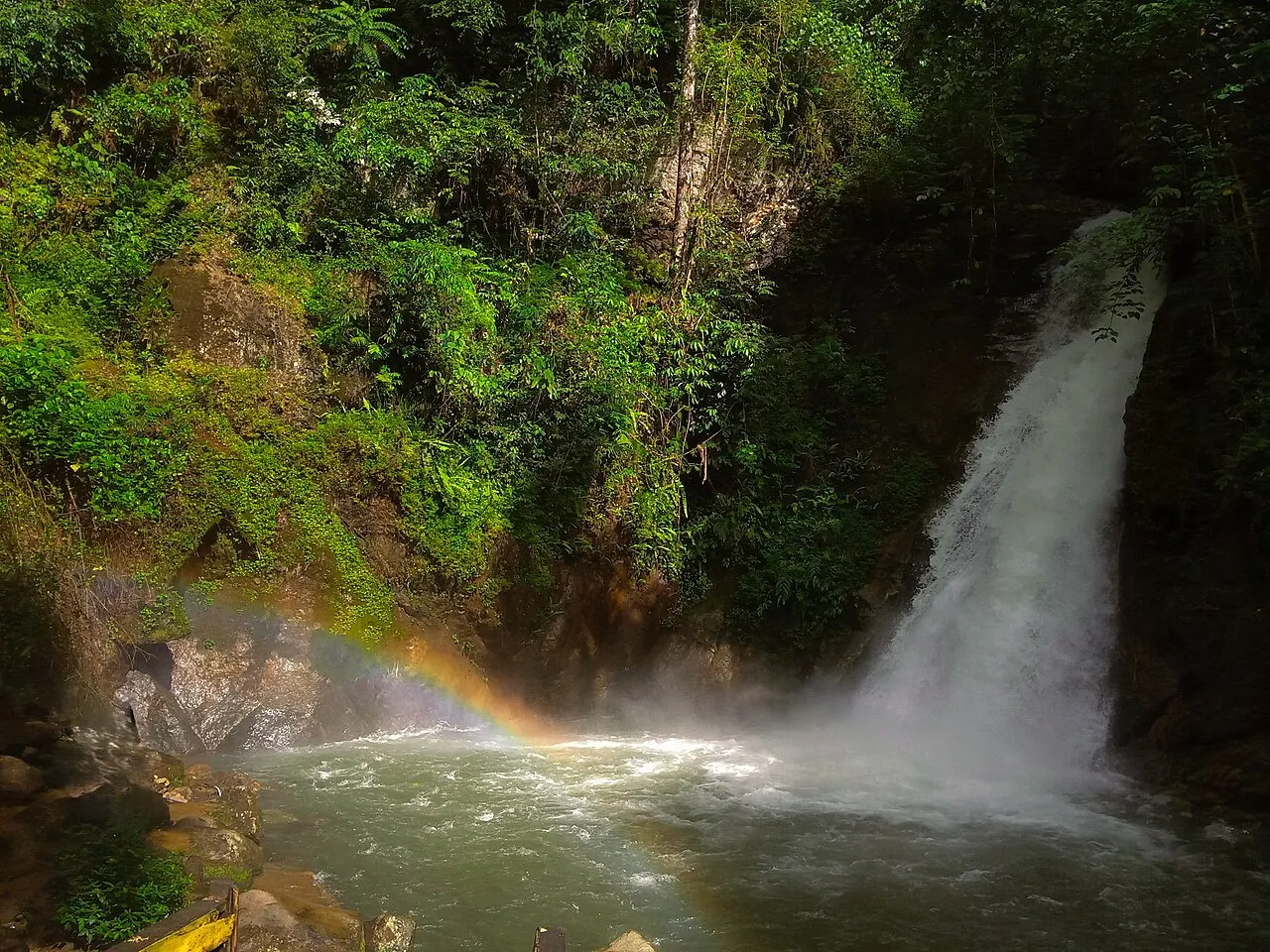
Meratus received UNESCO Global Geopark recognition in 2025. UNESCO highlights a complex tectonic history beginning in the Jurassic, making geology a central part of understanding the landscape. A geopark combines earth heritage, education and sustainable local development; it is not the same designation as a national park. Individual sites can have their own management rules.
Loksado in context
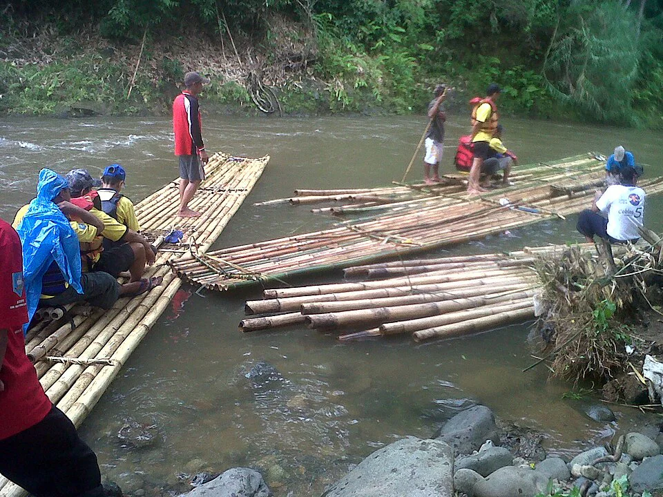
Around Loksado, the mountain landscape meets the Amandit River and the settlements of Dayak Meratus communities. The destination offers a practical introduction to the hills without implying that all of the geopark is accessible from one base. Balai houses and agricultural traditions belong to particular communities, so a guide should explain whose territory and customs a route encounters.
Visiting
Choose a named geosite or locally guided walking route and agree on access before travelling. Mountain paths and river crossings require current conditions, not only a map. Bring rain protection and leave room for changes after heavy weather. Do not use geopark status as evidence of guaranteed wildlife sightings, unrestricted entry or a single admission ticket.
Gateway and overnight base
Loksado is a practical village base for an introduction to the Amandit valley and surrounding hills. The guided walking activity explains why route length, terrain and local permission need discussion with the guide. Choose a short local walk or a longer programme according to the actual path, not a generic mountain-distance estimate. A day visit and an overnight village stay offer different amounts of time with the landscape; neither represents all of Meratus.
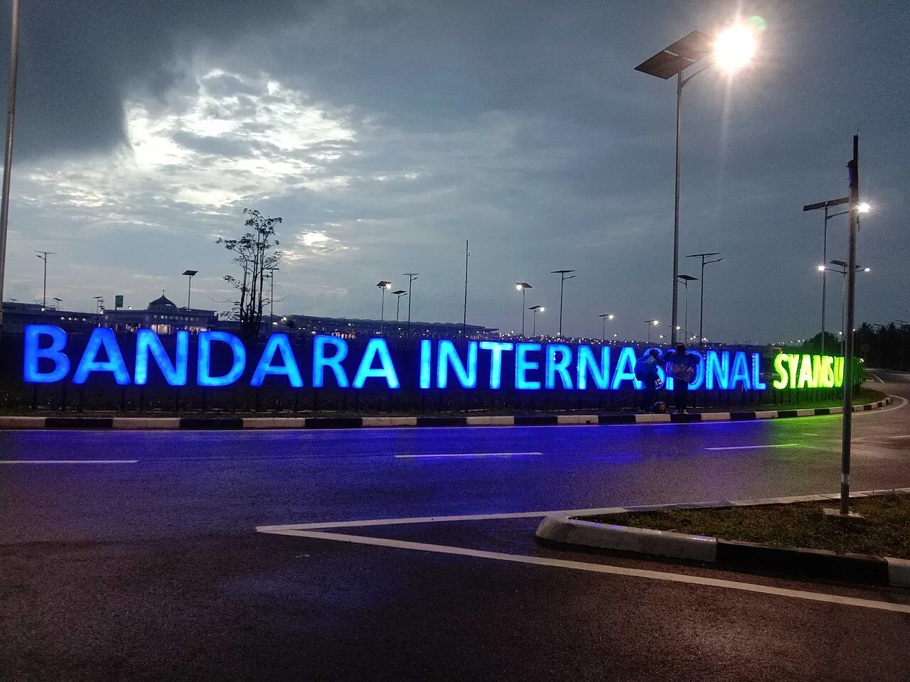
Arrivals through Syamsudin Noor Airport and Banjarbaru still need an onward road journey. A gateway hotel is not mountain accommodation. Ask the Loksado host about the specific lodging, meals and return transport before confirming a longer stay. No new hotel, homestay or universal mountain permit is asserted here. For community visits, confirm whose land and home you will enter and ask before photography.
Reading the landscape
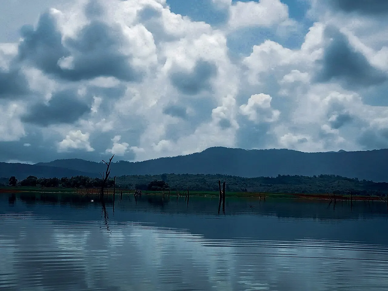
Read Meratus landscape and community alongside the route information. A view of forested slopes should not erase farming, settlements or customary stewardship. Heavy rain can alter river crossings and walking plans; use current local advice rather than a fixed best-month claim. There is no verified whole-range wildlife checklist in this guide, so mountain scenery is not used to imply particular animal sightings.