Three designations, different boundaries
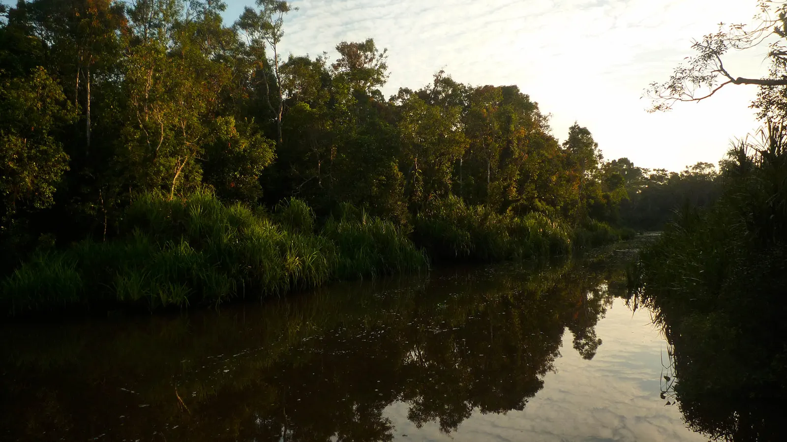
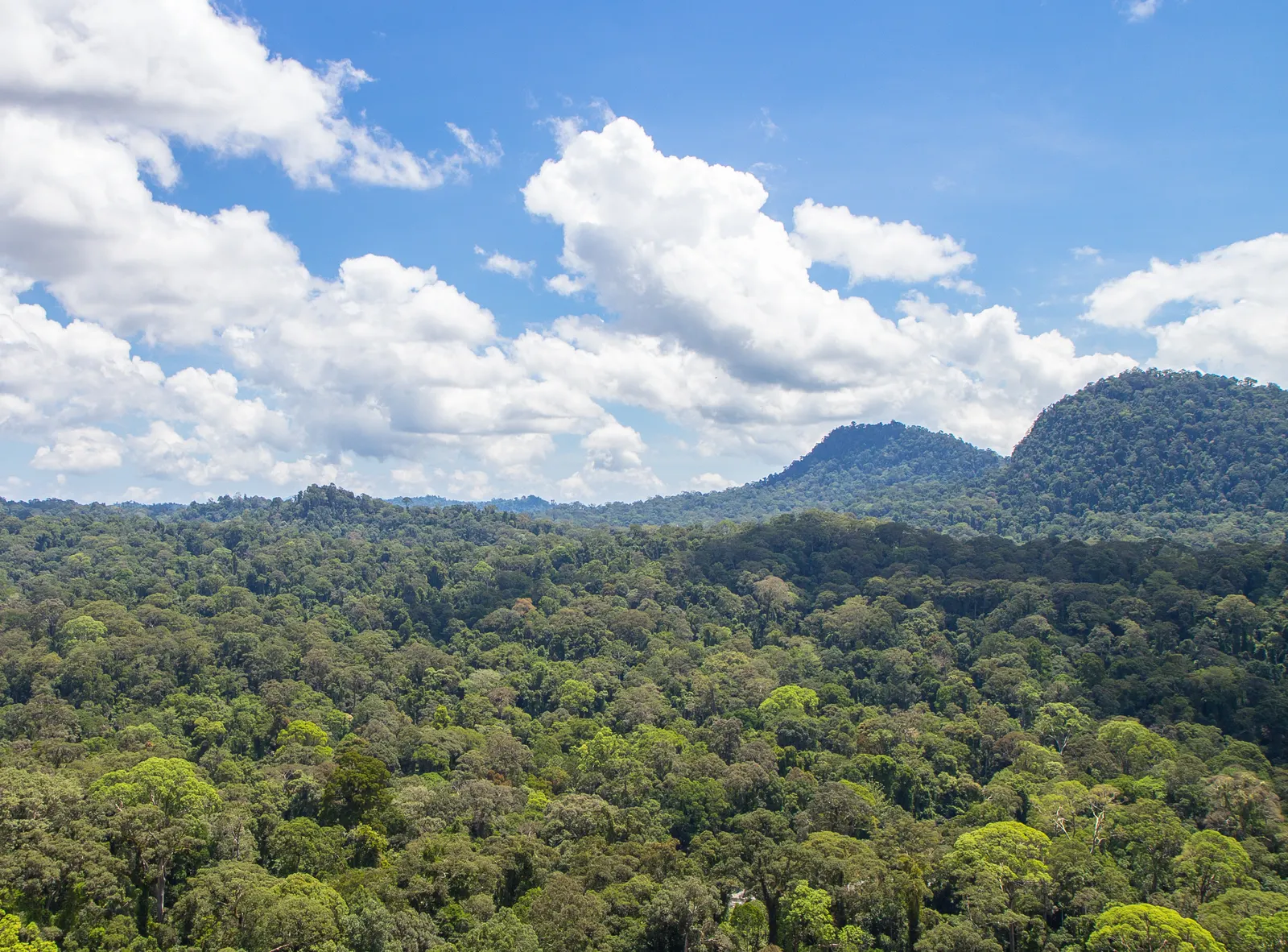
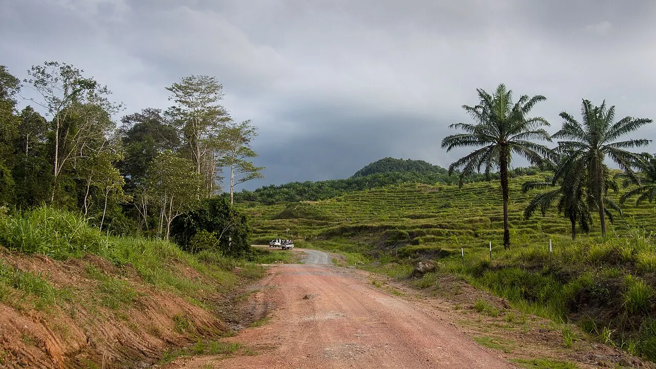
The sanctuary’s protected forest blocks should not be confused with the whole Kinabatangan River. Nor are they identical to the downstream Lower Kinabatangan–Segama Wetlands Ramsar site, which protects a different combination of coastal and wetland reserves. UNESCO’s Kinabatangan Biosphere Reserve, recognised in 2025, is broader again and links conservation with community landscapes. These labels describe complementary scales of protection, not three names for the same boat excursion. For a visitor, the important habitat is the river-edge forest and floodplain around the booked base. Forest continuity matters: wildlife needs routes between feeding areas, while clearing and fragmented habitat can narrow those connections. A boat view of trees along the water does not mean that a continuous forest extends indefinitely behind them.
Choose the river base and transfer
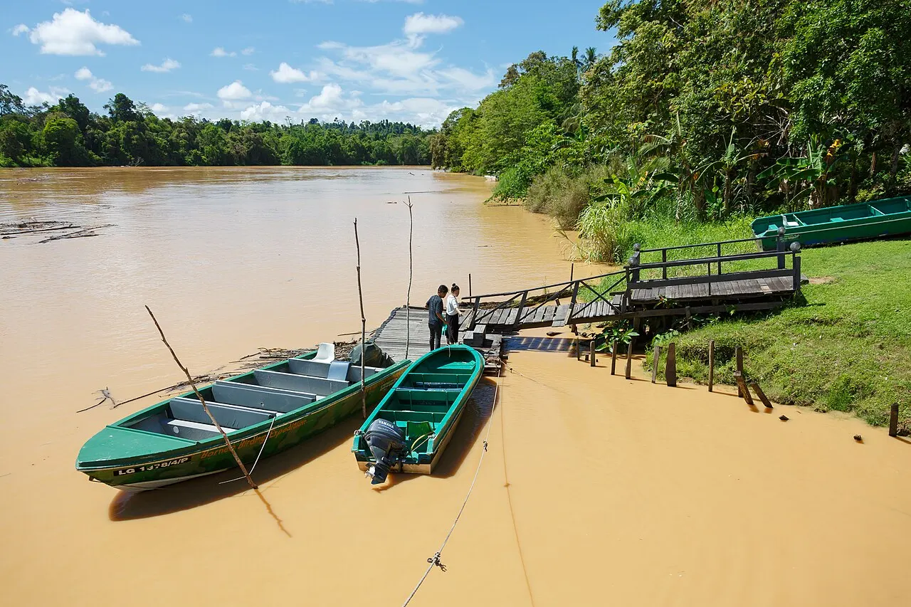
Sandakan is the main regional starting point. Operators may collect from the airport, a city hotel or Sepilok; confirm the actual collection point and whether the journey is by road, boat or a combination. Sukau, Bilit and Abai are not interchangeable labels: ask which village and jetty your stay uses, how you reach the lodge and who handles the last transfer. A hotel such as Sabah Hotel Sandakan is a gateway stay, not a lodge inside the sanctuary. For nights by the river, choose a confirmed lodge or village homestay programme instead. The existing Kinabatangan wildlife activity guide explains the boat-based experience. Booking the transfer, room and guiding together can clarify responsibilities, but check the inclusions rather than assuming every advertised package covers them. An ordinary bus stop is not the final embarkation point for every lodge.
Time on the water
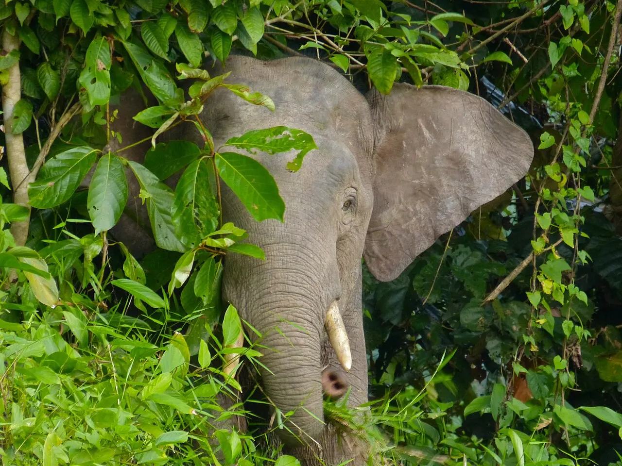
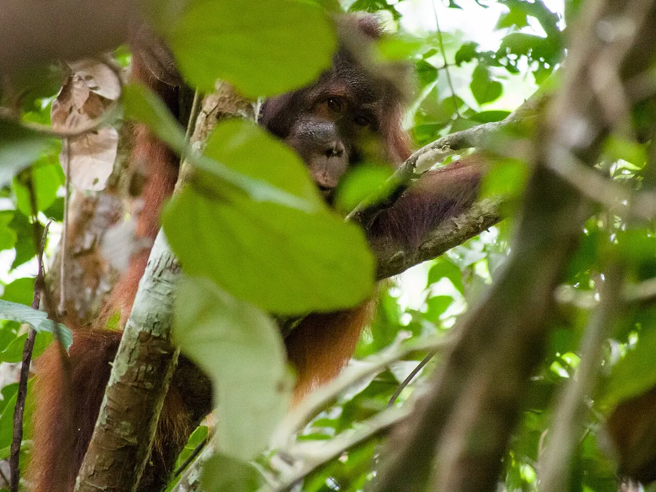
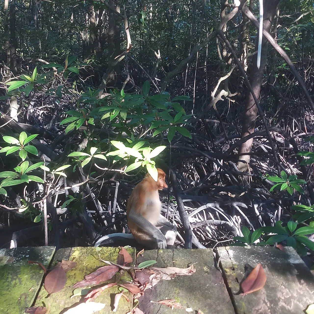
A three-day, two-night stay allows several outings rather than a single attempt between long transfers. Sabah Tourism recommends at least three days; shorter packages also exist, but contain fewer morning and evening opportunities. Dawn and late afternoon are useful periods for observing the river margins. Choose a guide who explains behaviour and habitat instead of promising a fixed animal list. Proboscis monkeys and orangutans use the forest canopy; Bornean elephants may be encountered along parts of the river, but their location changes. Treat a distant or brief sighting as valid, rather than asking a boat to crowd the bank. Binoculars help you remain at a respectful distance. Night outings and forest walks depend on the lodge’s arrangements and local conditions and should be confirmed separately, not assumed from a general river booking.
River conditions and community context
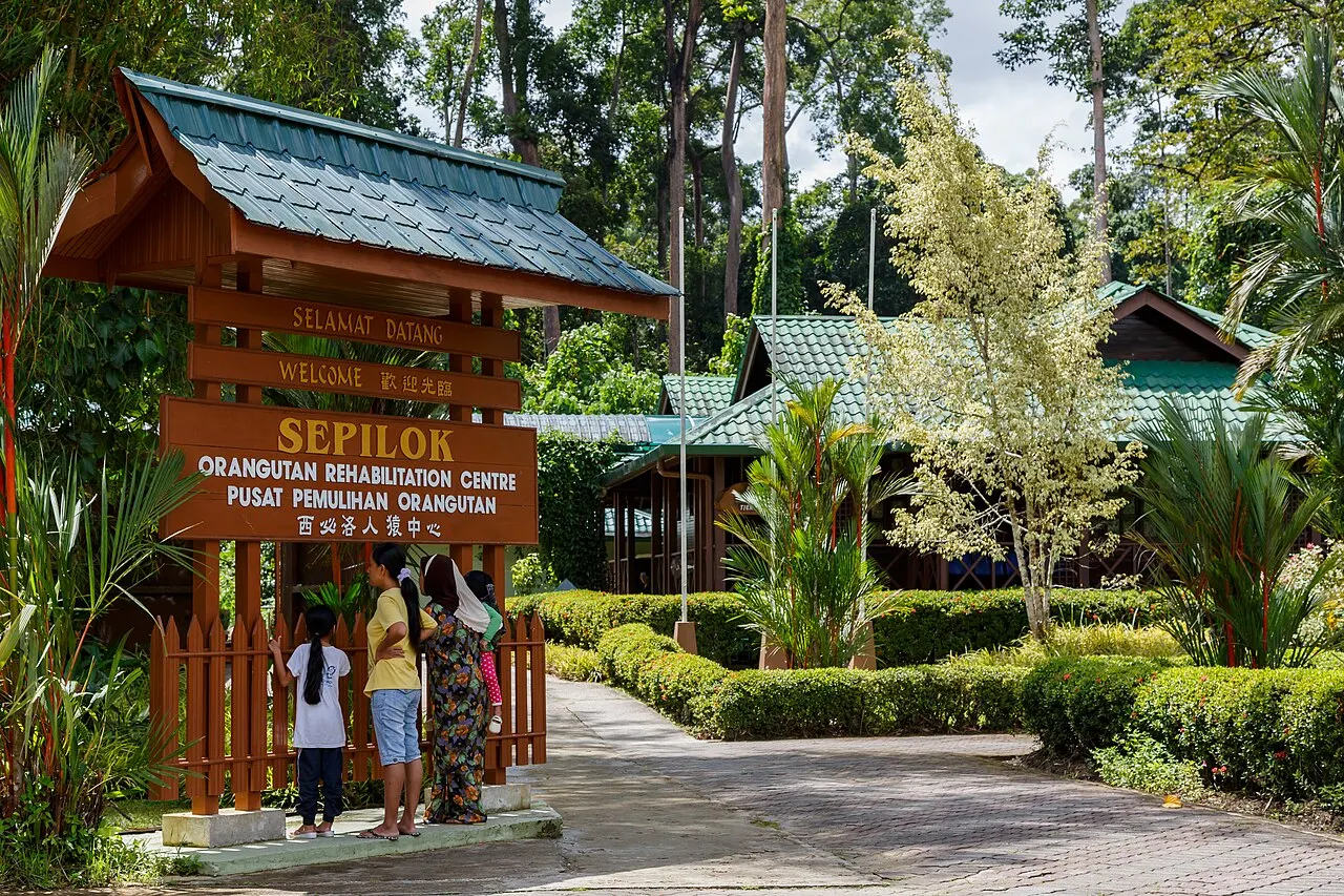
Water levels and rain influence where boats can go and whether a forest trail is usable. Confirm the current route and safety arrangements with the operator, wear the supplied lifejacket and keep hands and feet inside the boat. Crocodiles occur here; a wildlife river is not an informal swimming stop. Ask before photographing people or entering village spaces. Local guiding, boat work and homestays connect tourism to river livelihoods; choose activities that respect both residents and the forest. Do not publish precise elephant positions or animal resting sites. Sepilok’s rehabilitation centre can complement the trip, but its managed visitor experience differs from observing wild orangutans on the river. Danum Valley adds a walking-focused forest stay if the wider itinerary allows separate transfers. Avoid spending every spare hour moving between bases: repeated observation from one well-chosen location is often more useful.
Why river trees matter
The connection between forest and animals is visible in more than a sighting list. Research describes proboscis monkeys using tall patches of Sonneratia alba and other river-edge trees as sleeping habitat in the Kinabatangan landscape. Retaining these trees therefore protects both food and shelter relationships within river ecosystems. That does not make individual sleeping trees public attractions. Observe from a respectful distance and leave precise resting locations out of photographs’ public location data.