Overview
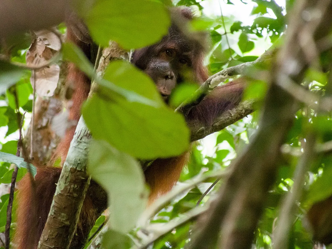
Tanjung Puting’s conservation history includes protection of orangutans and proboscis monkeys. Its ecological value extends beyond those primates to a mosaic of wetland, heath, lowland and coastal habitats.
Location
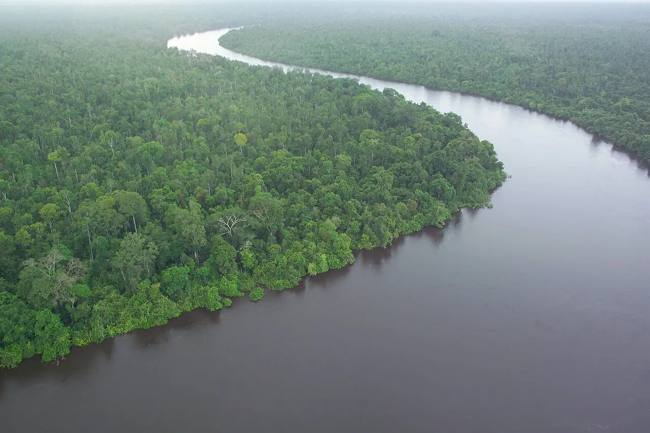
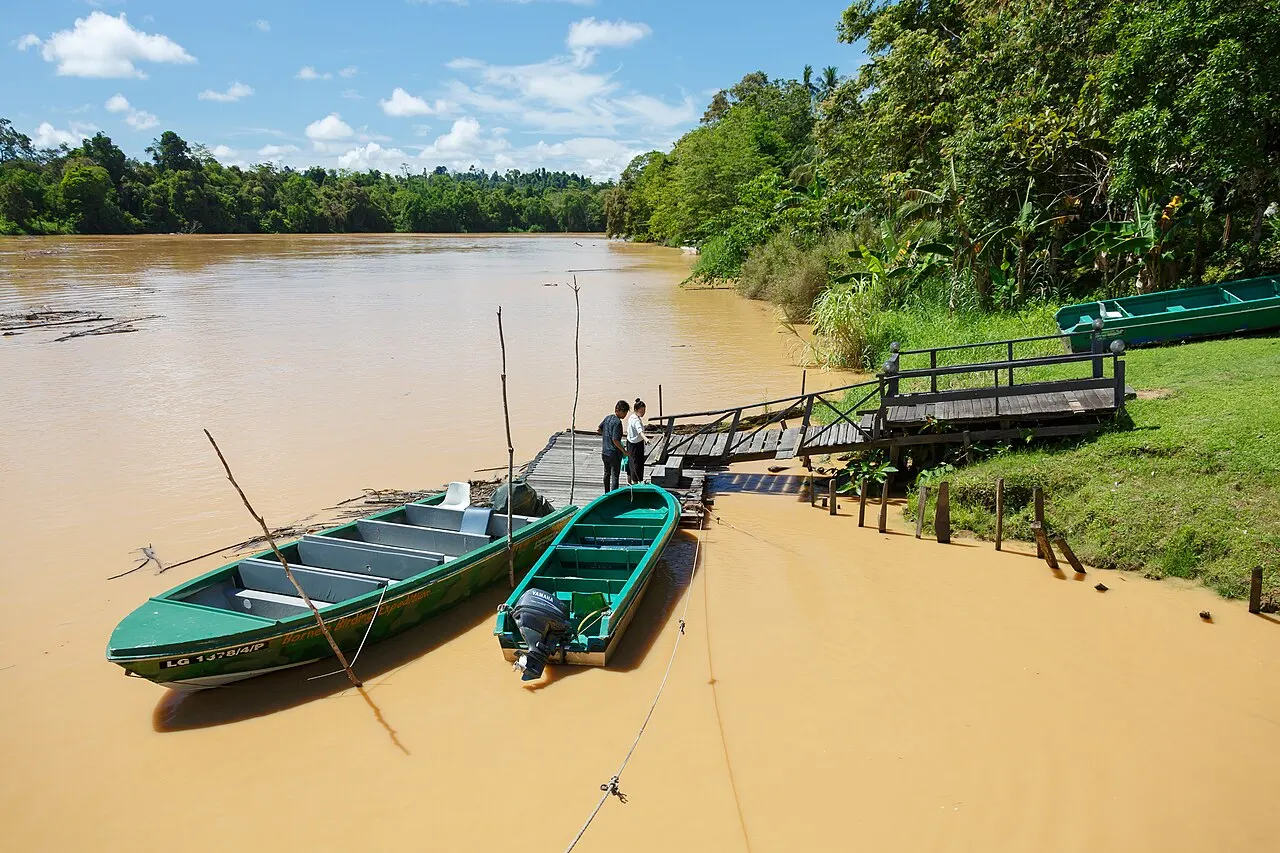
Tanjung Puting lies on a peninsula in southern Borneo, in Central Kalimantan, between Kumai Bay and the Seruyan River. Pangkalan Bun and Kumai are arrival gateways; they are separate settlements outside the park, not alternative names for it. The Sekonyer River forms a documented travel corridor into the protected landscape.
Area & boundary sources
The KSDAE national-park profile lists 412,548.24 hectares (4,125.4824 km²), checked on 1 October 2026. Its historical account and UNESCO’s descriptive text also mention 415,040 hectares. UNESCO separately lists 938,247 hectares for the larger biosphere reserve, including marine area; that is not the national-park area. These sources use different extents, so their totals should not be combined into a single boundary figure.
Ecosystems
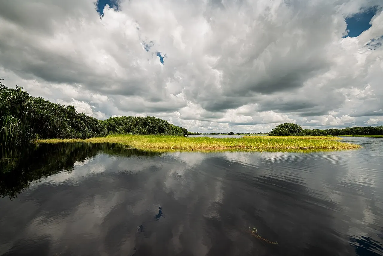
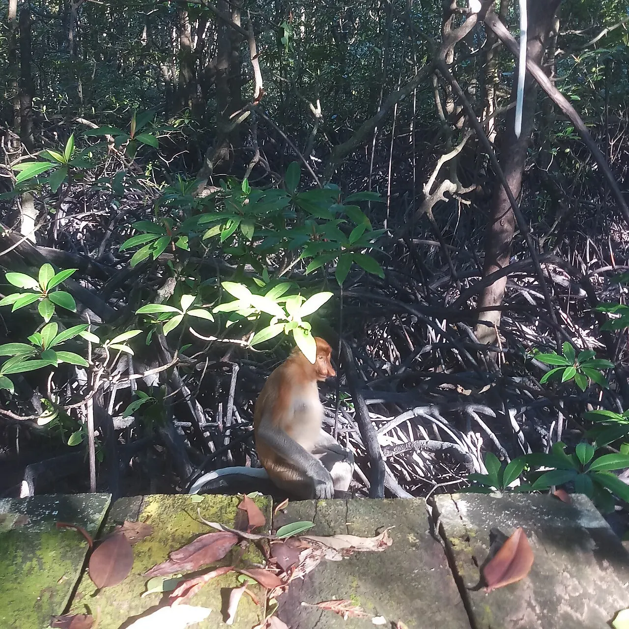
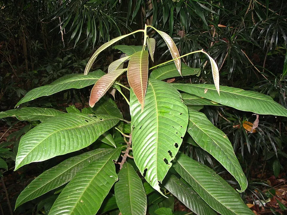
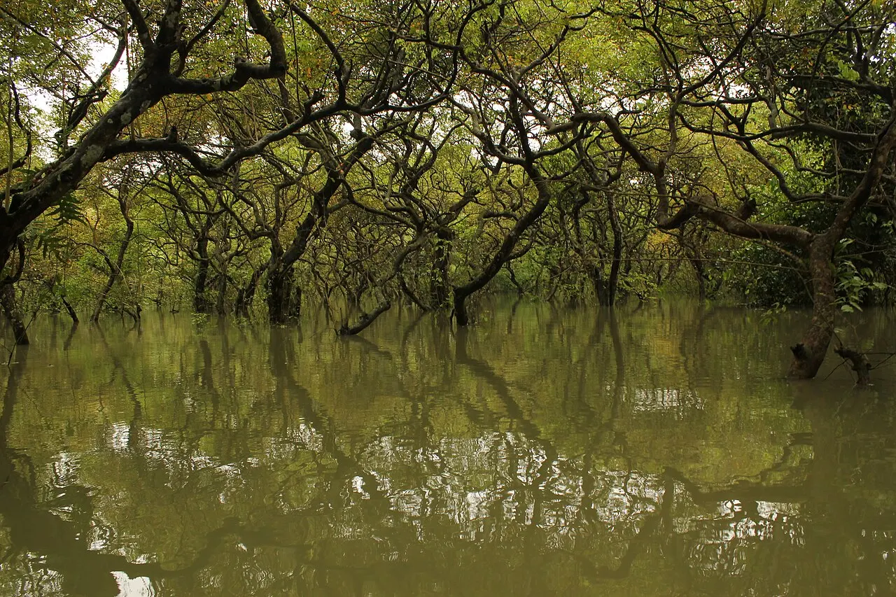
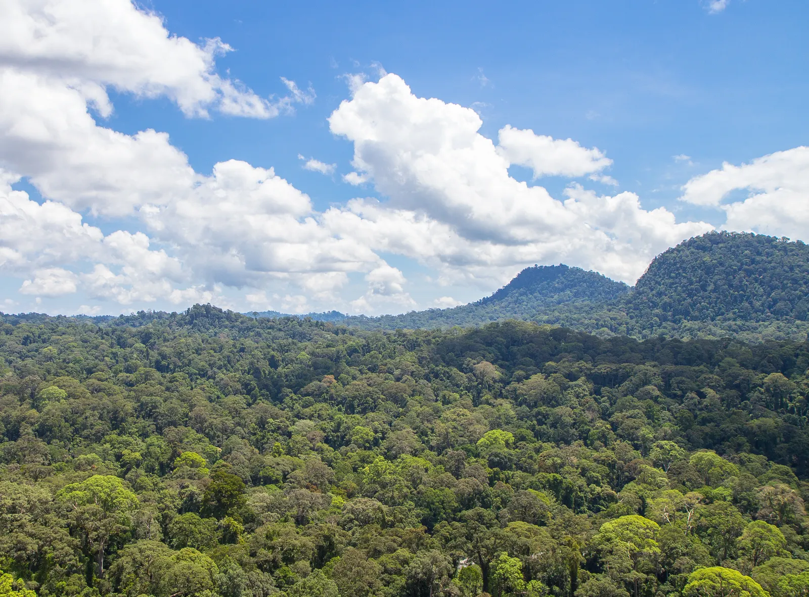
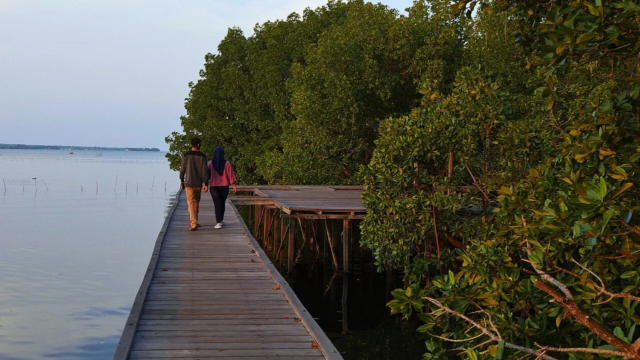
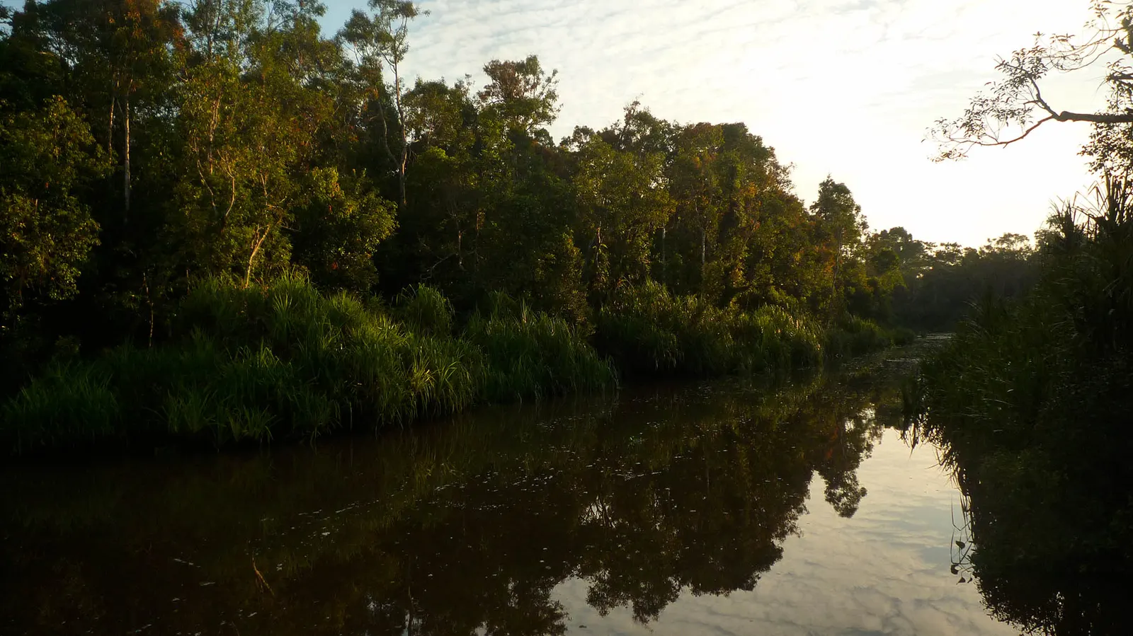
UNESCO identifies lowland forest, freshwater swamp, peat swamp, tropical heath or kerangas, mangrove and coastal forest. These habitats differ in water regime and soils; a single photograph cannot represent them all.
Wildlife
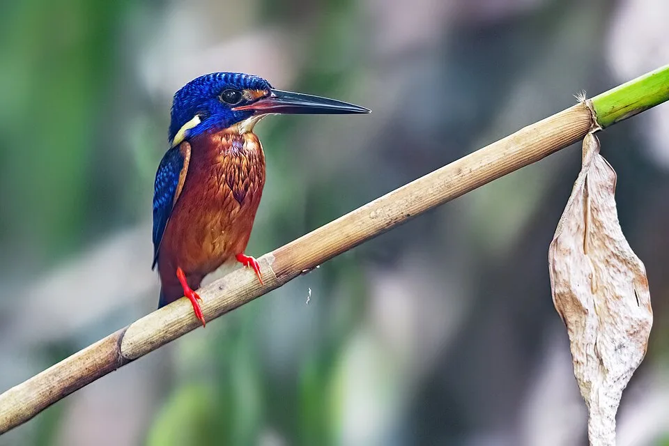
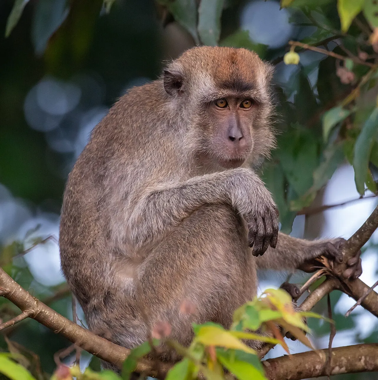
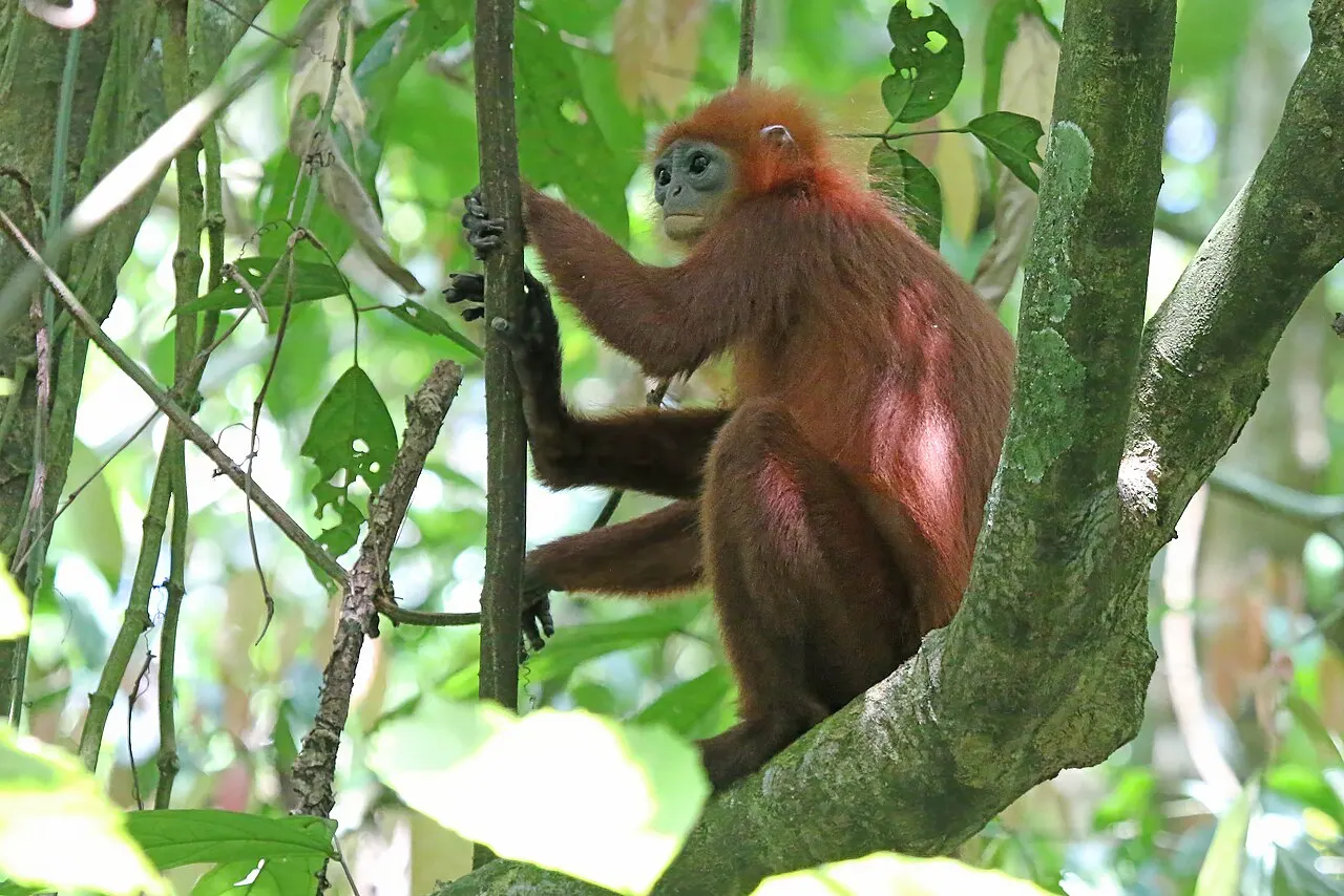
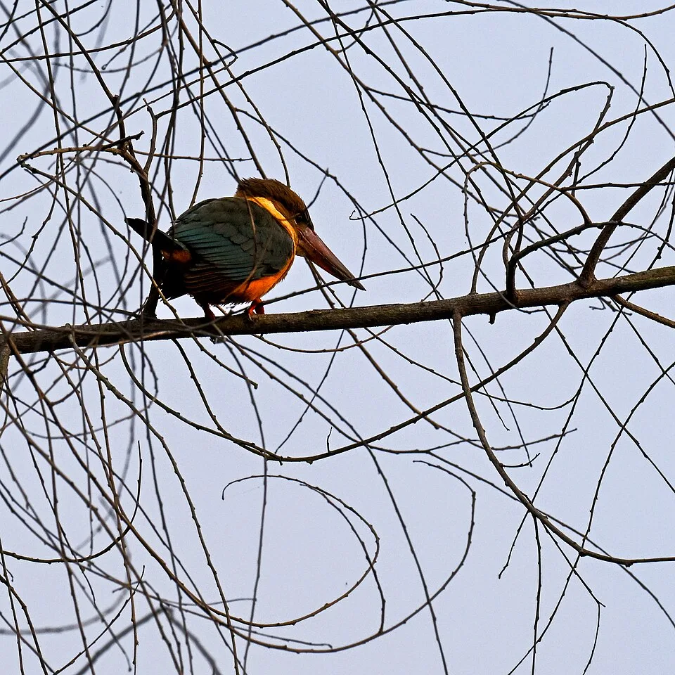
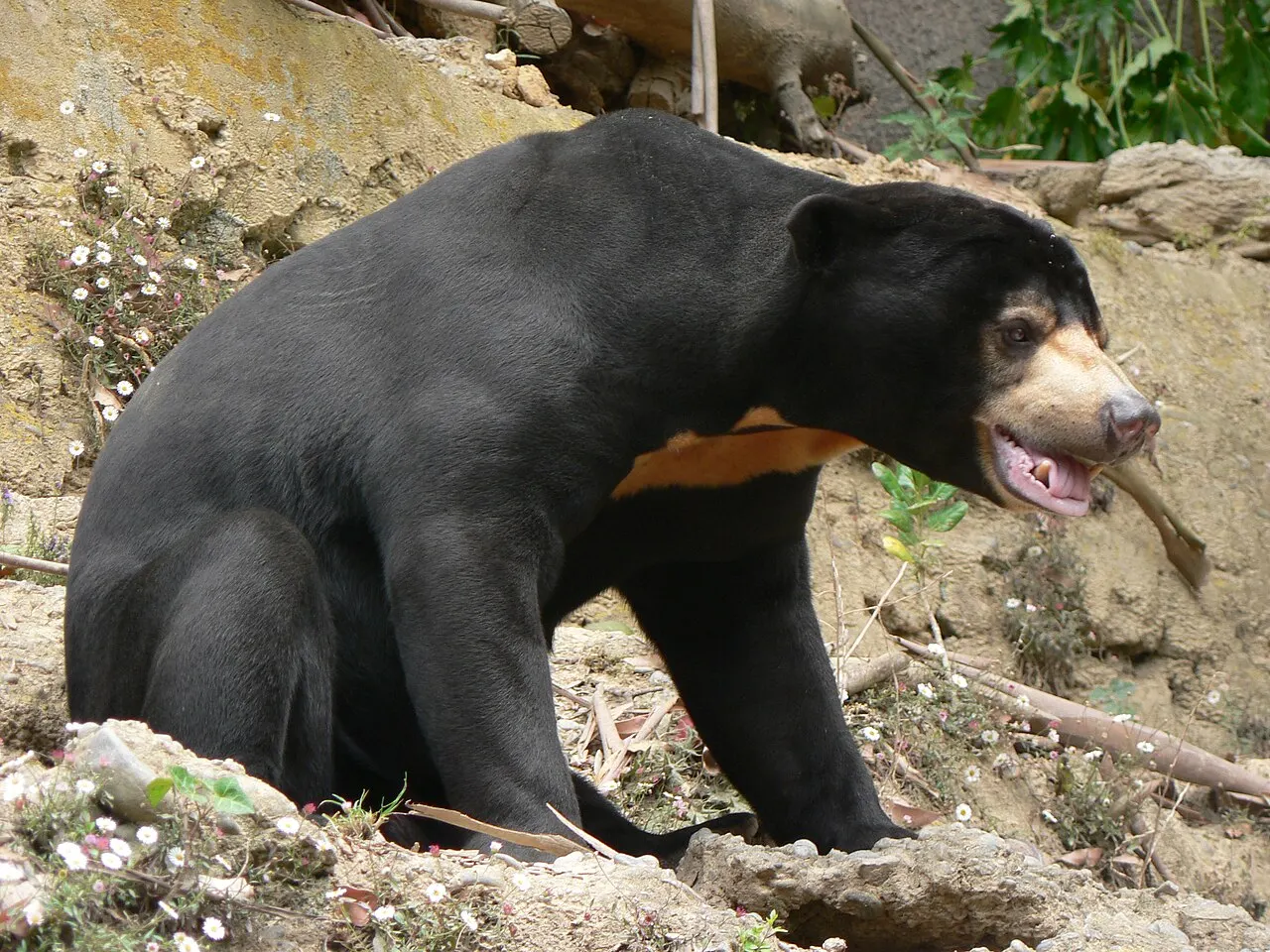
Orangutans and proboscis monkeys have explicit park-level support in the conservation sources. Additional species connections require their own locality evidence. Historical inventories and tourism sightings should not be treated as equivalent monitoring data.
Plants
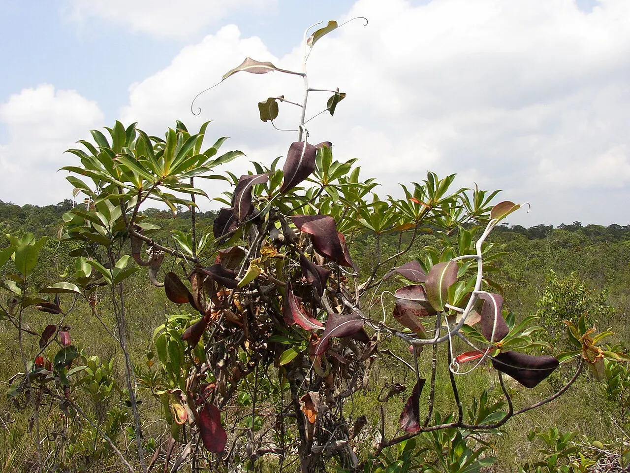
Vegetation changes with water and soils: mangrove communities occupy coastal settings, while inland swamp and heath forests have different conditions. UNESCO’s account names ramin (Gonystylus bancanus) and ironwood (Eusideroxylon zwageri) as plants of conservation interest. The linked pitcher-plant profiles are documented at Sebangau localities and are not evidence of their occurrence on a Tanjung Puting visitor trail.
Access
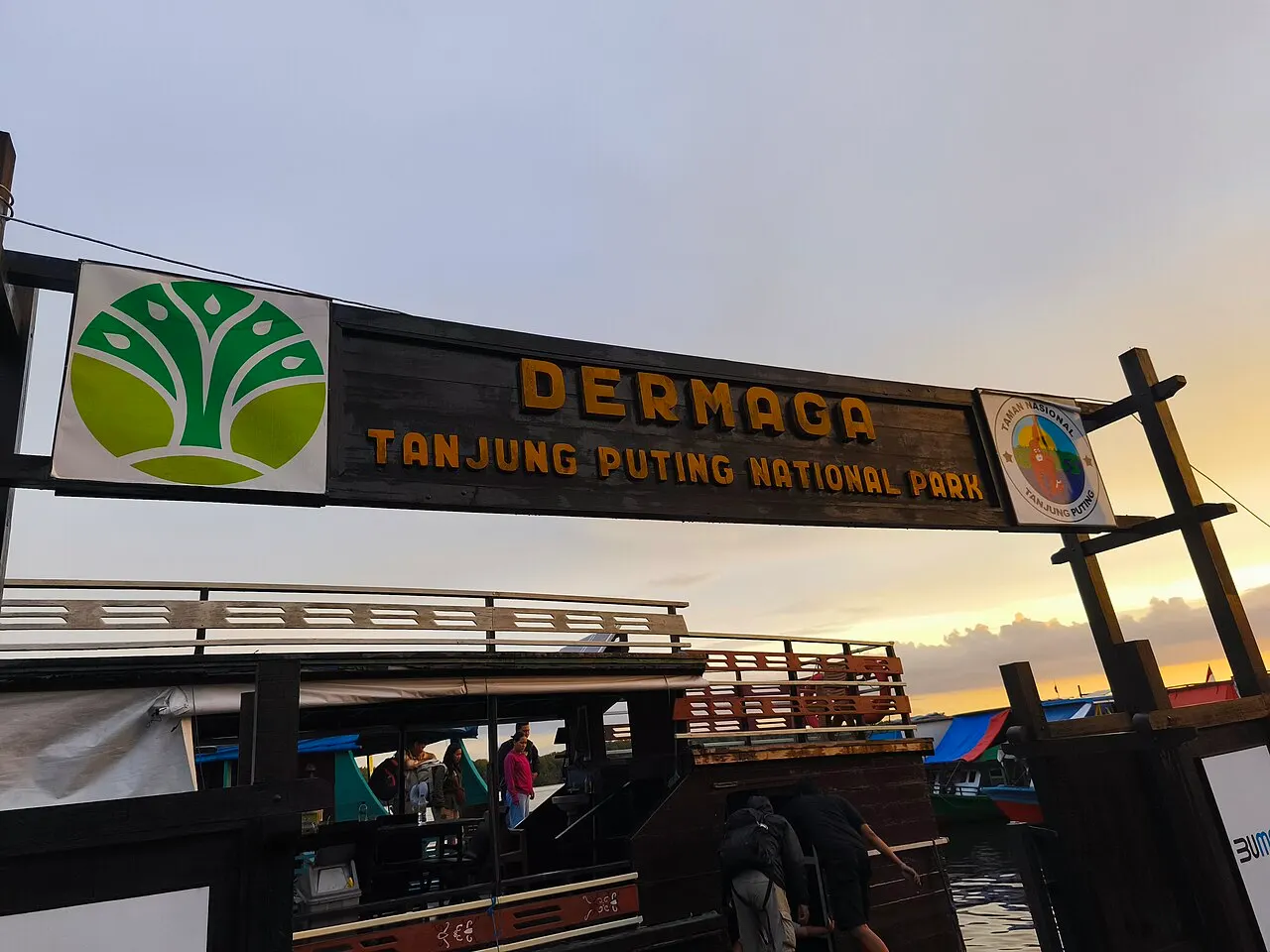
Kumai is the documented gateway toward the park and Camp Leakey corridor. Confirm boat arrangements and entry requirements with the relevant authority and provider. Do not infer free access to every rehabilitation or research facility.
Things to do
River observation and guided forest experiences connect the park with its habitats. General activity records are separate from concrete operator packages; this guide is not selling a tour or promising wildlife encounters.
When to visit
Plan around current river conditions, park advice and BMKG forecasts. Allow flexibility for transport and access changes rather than choosing an allegedly universal best month.
Entrance information
Current visitor rules, permits and allowed landings should be checked before travel. No unverified ticket price, opening schedule or feeding-station timetable is published.
Conservation
Orangutan protection and rehabilitation are important parts of Tanjung Puting’s conservation history. Protecting the forest mosaic also safeguards other wildlife and the wetland systems on which it depends. Rehabilitation, scientific research and visitor activities have different purposes and access arrangements; a tourism route should not be assumed to open every conservation facility.
Threats
UNESCO documents pressures including illegal logging, forest fire, mining, cultivation and poaching in the biosphere-reserve landscape. This describes conservation pressures, not an assertion that every visitor route is currently affected. Before travelling, check current park access and official weather information; during a visit, follow guidance intended to limit disturbance.
Map
The official park profile and related gateway map provide geographic orientation. A verified visitor-entrance coordinate and legal boundary polygon are not supplied; the guide does not invent a precise park marker.
Access and reservations
The park's SITANPAN system reserves visits by date and destination, with available quota shown for selected sites. Agree with your organiser who completes the reservation and obtain confirmation. Booking a boat alone is not confirmation of park entry. Use the current official instructions for deadlines and charges.
Gateway and overnight base
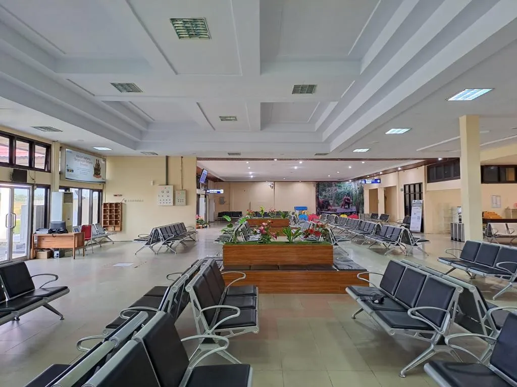
Iskandar Airport connects with Pangkalan Bun, followed by ground transport to the agreed boat departure in Kumai. These are successive stages, not different names for the park entrance. A hotel such as Grand Kecubung Hotel is a town base before or after the river journey. Rimba Orangutan Ecolodge is a separate river-corridor lodging option; arrange its transfer and park programme explicitly rather than assuming a room includes them.
A day visit and a multi-day boat programme have different reach and sleeping arrangements. Discuss two or more days when you want time for several confirmed stops, but let the actual itinerary determine the duration. If sleeping aboard, ask about the boat's sleeping space, washing facilities, meals and weather protection. Camp Leakey is not visitor overnight accommodation. Avoid a tight onward flight on the same day as an uncertain river return.
Reading the landscape
The river journey is the means of access; wildlife observation requires patient, non-intrusive behaviour. Look beyond primates to the changing mangrove, peat-swamp and heath forest settings. Ironwood and ramin are supported park-level plant associations, not a promise of marked specimens on every walk. For a contrasting Central Kalimantan nature experience, Sebangau has a separate Palangka Raya gateway and should be planned as another journey, not an adjacent stop.