
Overview
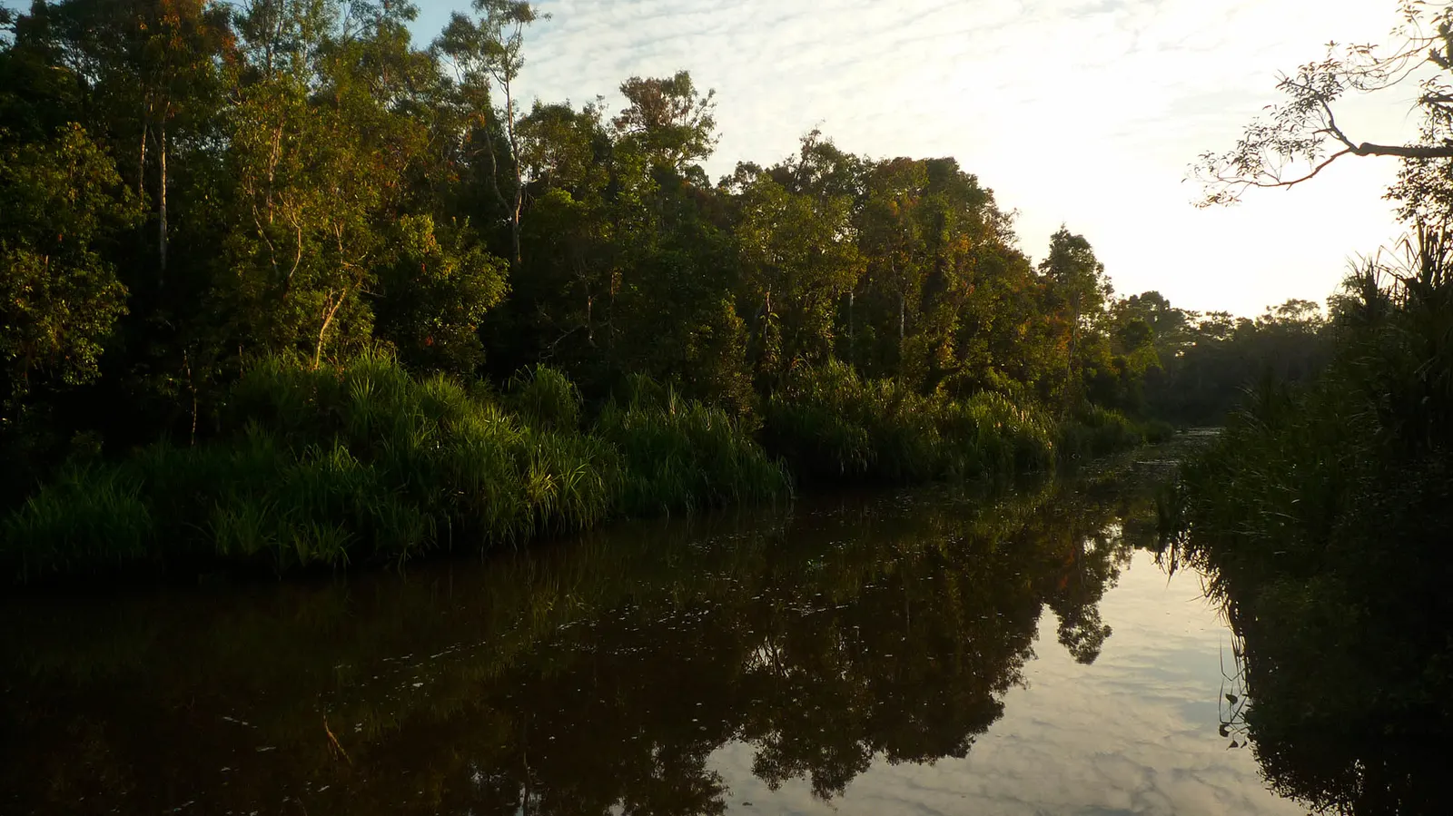
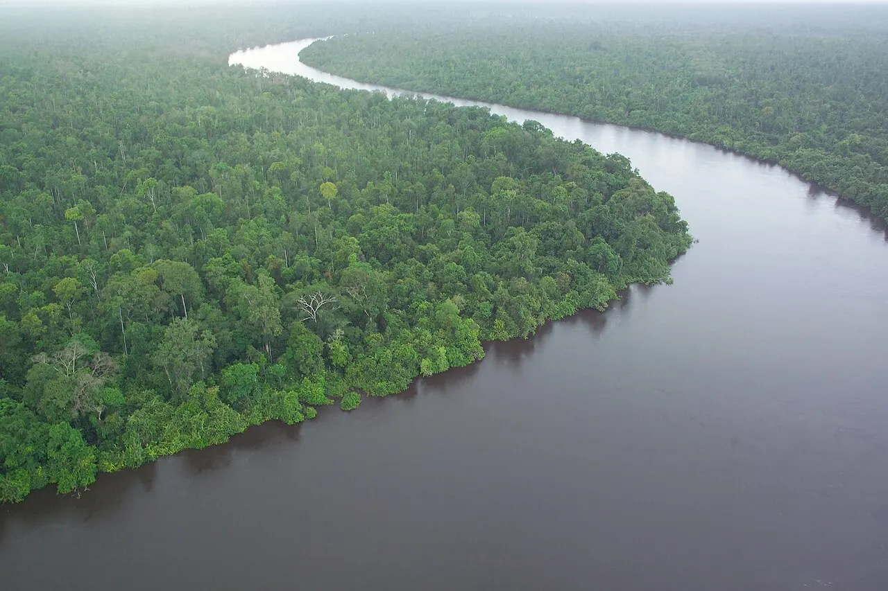
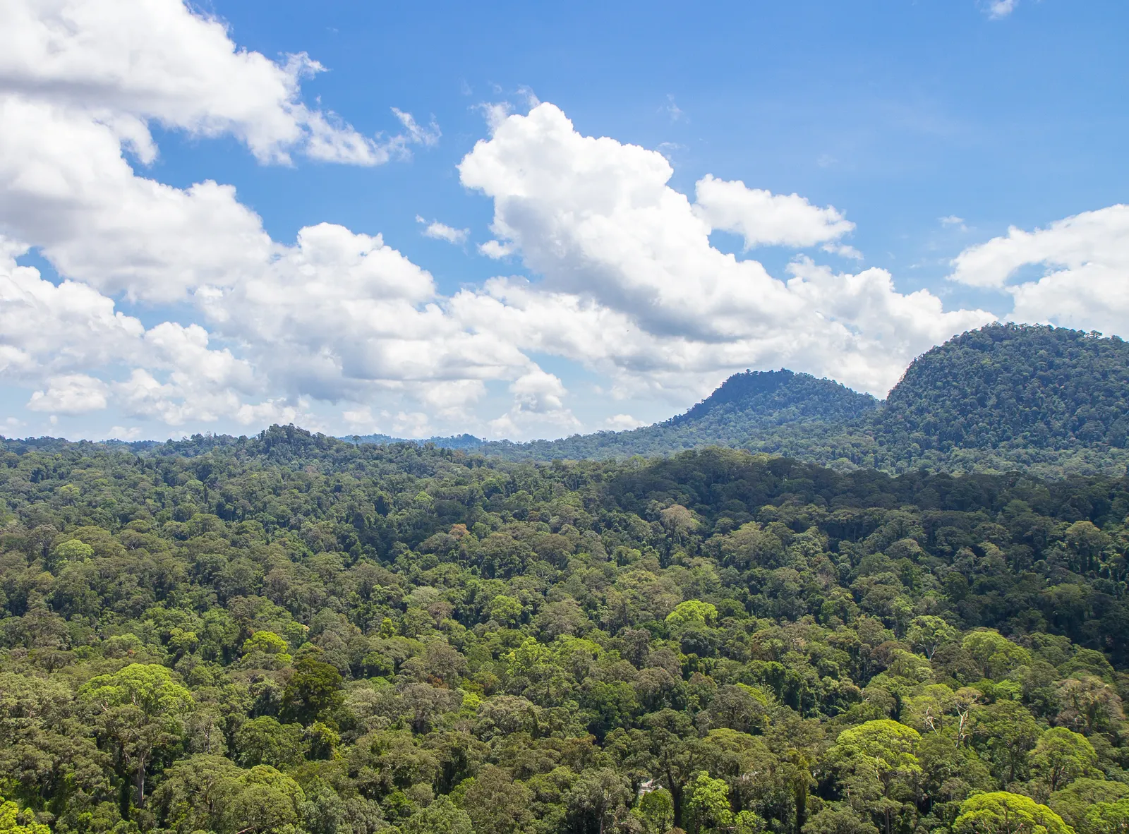
Sebangau is a peat-swamp national park whose forest, water and organic soils form one ecological system. It extends across parts of Palangka Raya municipality and the regencies of Katingan and Pulang Pisau. The city is a practical base for the Kereng Bangkirai–Camp Koran route; it is not the whole park.
Location
The park lies in Central Kalimantan between the wider Sebangau and Katingan river landscapes. Kereng Bangkirai is a city access locality. The Natural Laboratory of Peat Swamp Forest (NLPSF) is a named research locality in the Sebangau landscape; its study boundary must not be substituted for the national-park boundary. Check the departure point for your chosen route rather than navigating to a park-centre marker.
Area & boundary sources
The KSDAE profile lists 537,299.72 hectares (5,372.9972 km²), checked on 1 October 2026. Earlier designation and zoning documents include 568,700 and 537,126 hectares. These are source-specific extents from different documents, not interchangeable measurements or a visitor-route area. Use the official zoning and boundary documents for questions about the legal extent.
Ecosystems
Waterlogged peat-swamp forest supplies habitat and stores carbon in slowly accumulated organic soils. Its water regime matters: drainage and fire can damage the ecological system even where some trees remain.
Wildlife
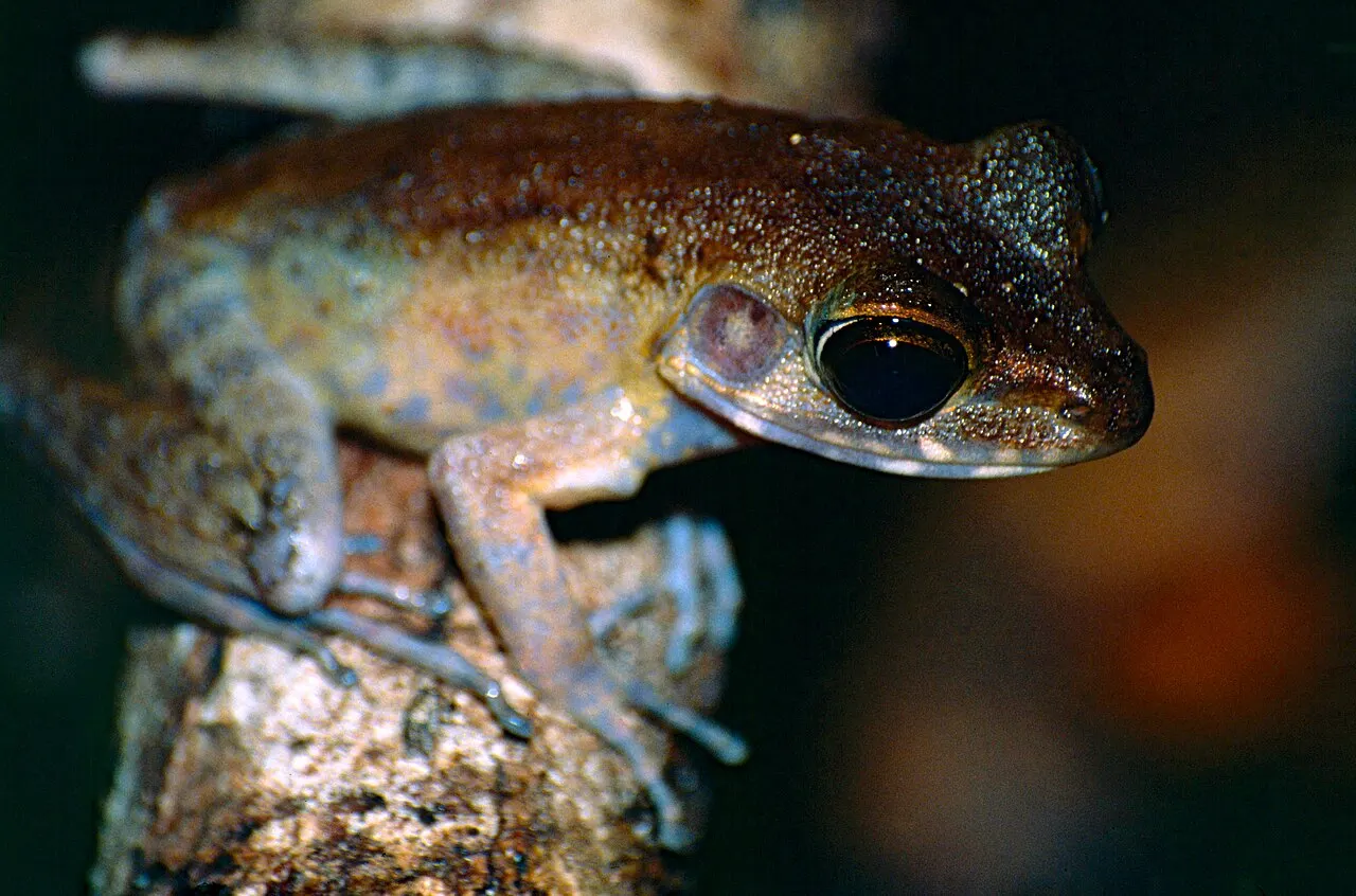
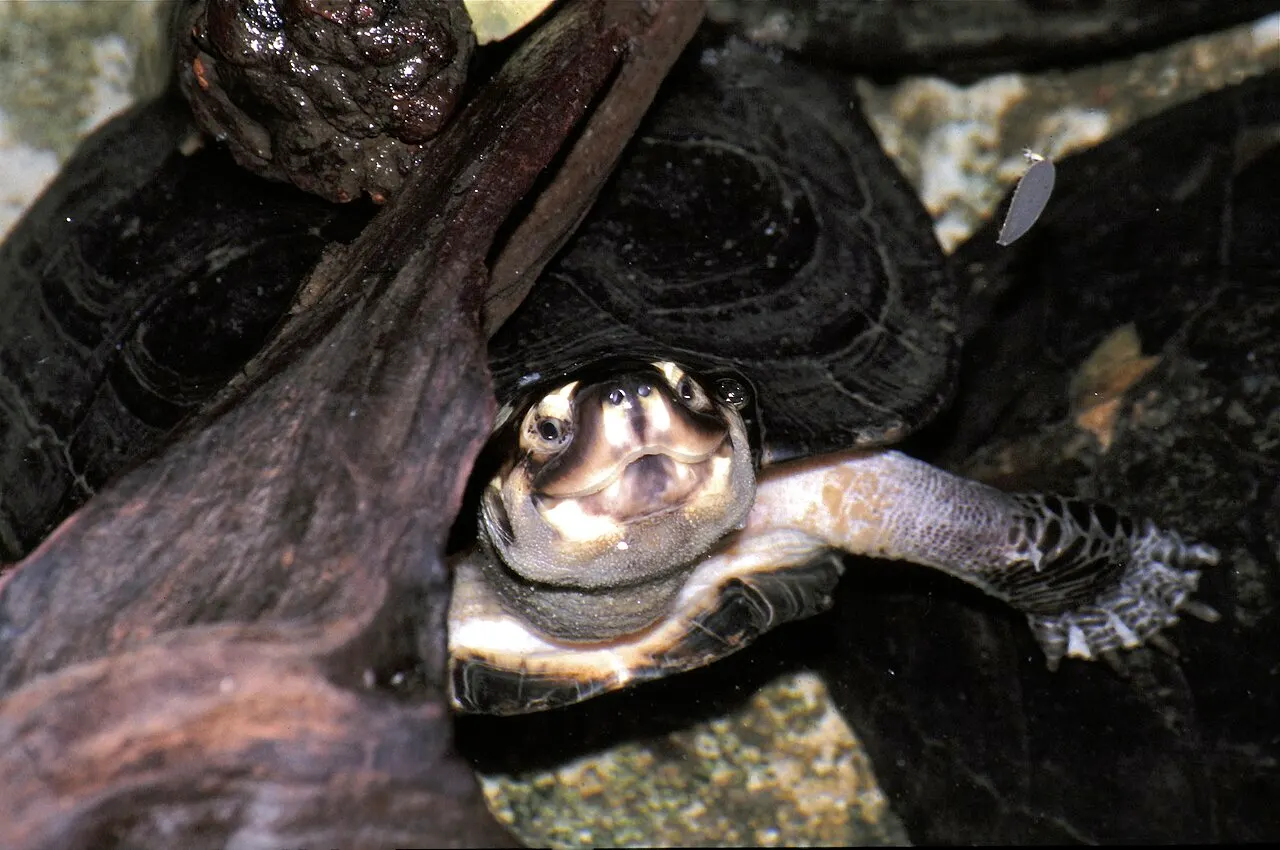
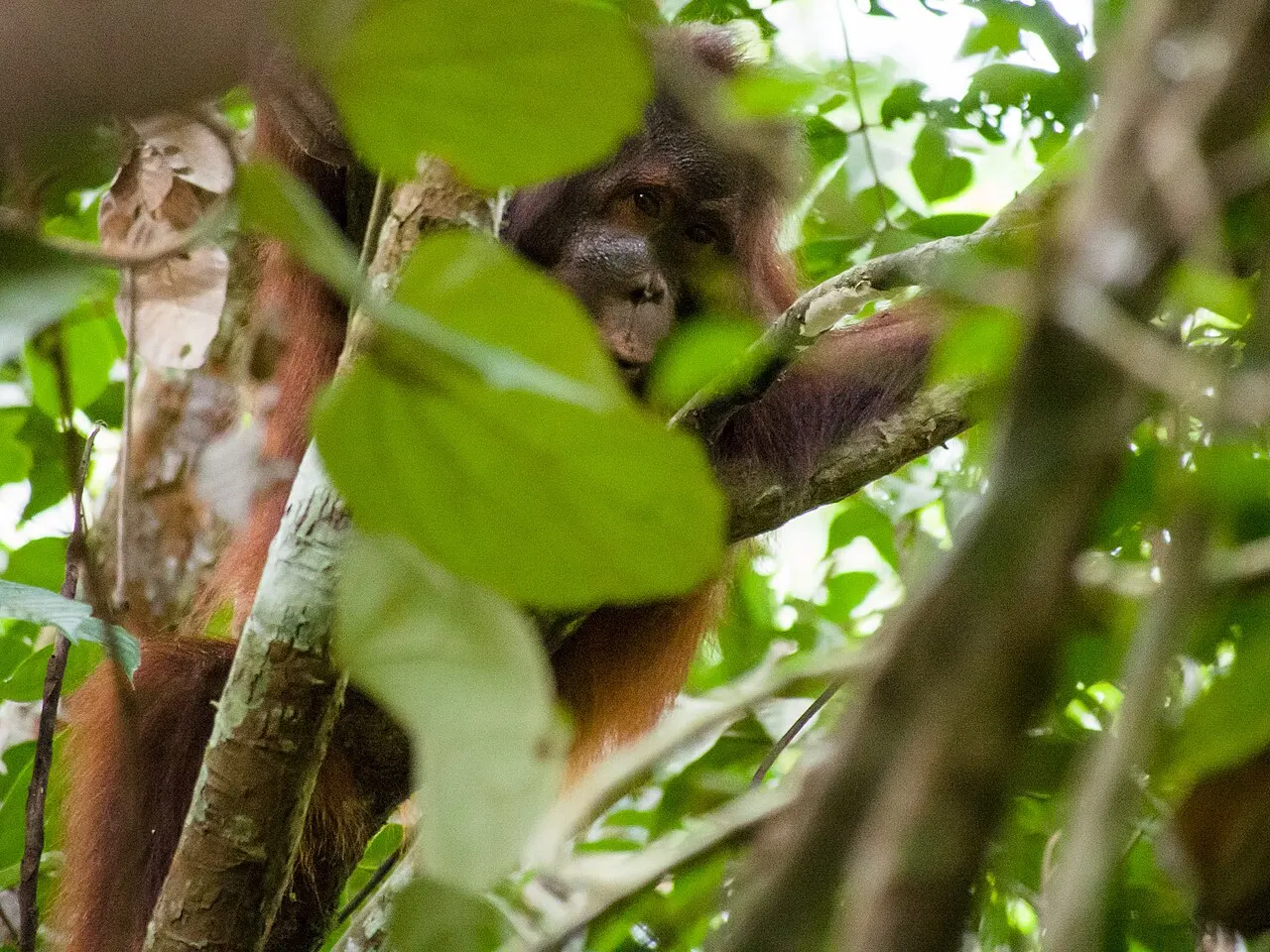
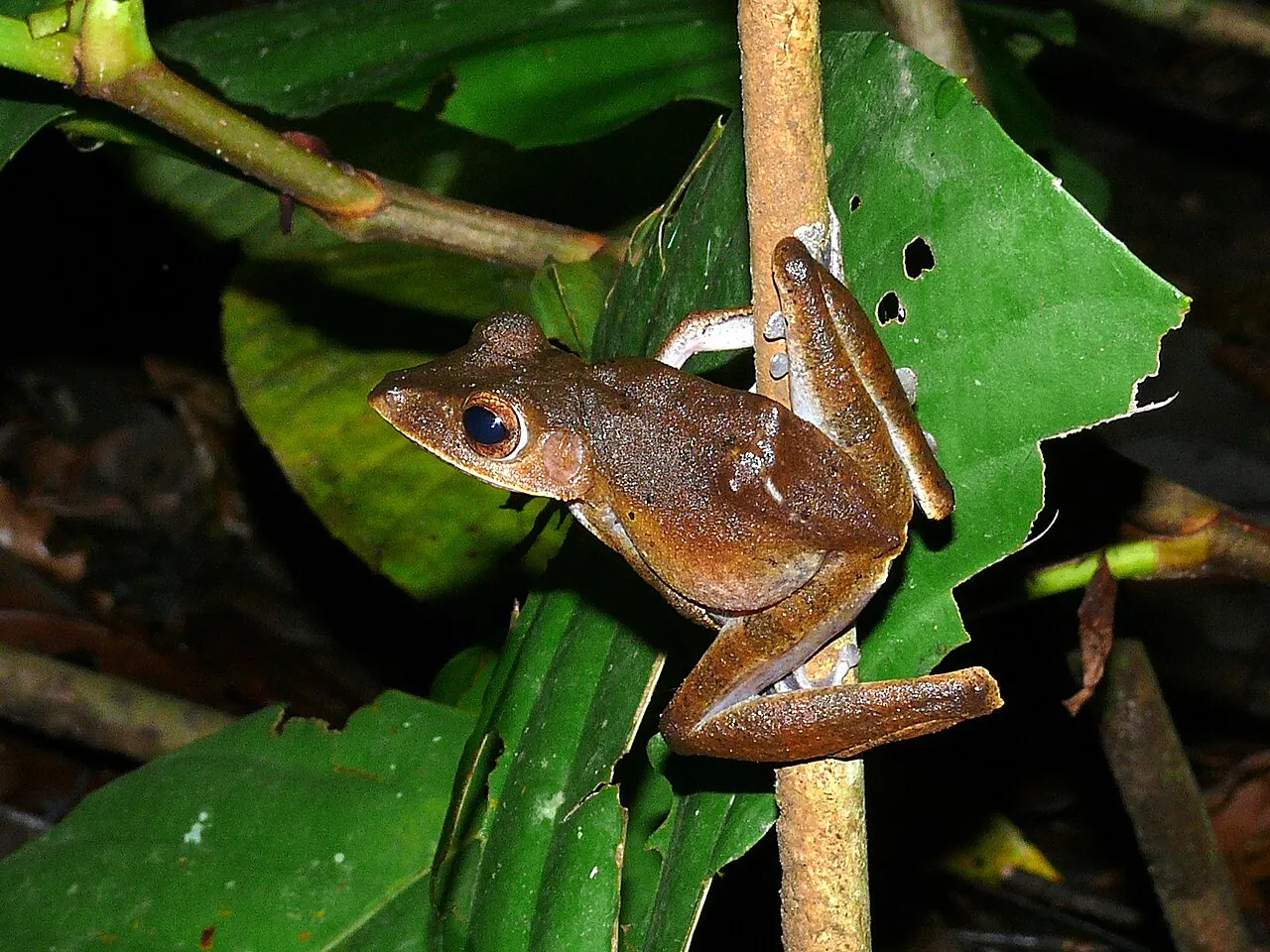
The park authority identifies orangutans among Sebangau’s wildlife. More specific links lead to birds documented along Sungai Paduran Alam and reptiles and frogs recorded at Punggualas. Their study sites and dates matter: a record from one part of this large landscape does not imply a sighting on the Camp Koran route or provide a current population total.
Plants
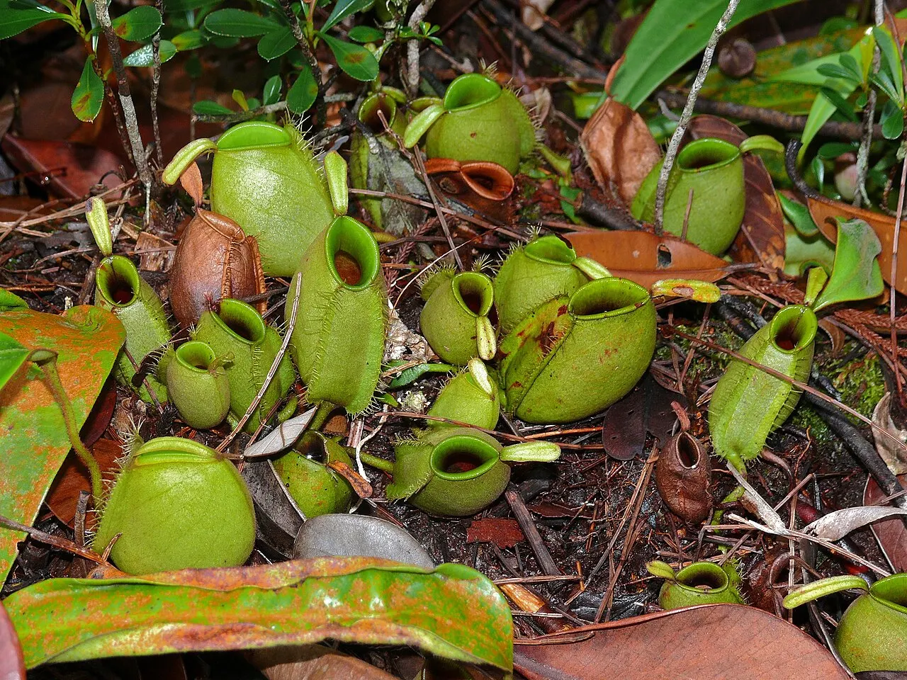
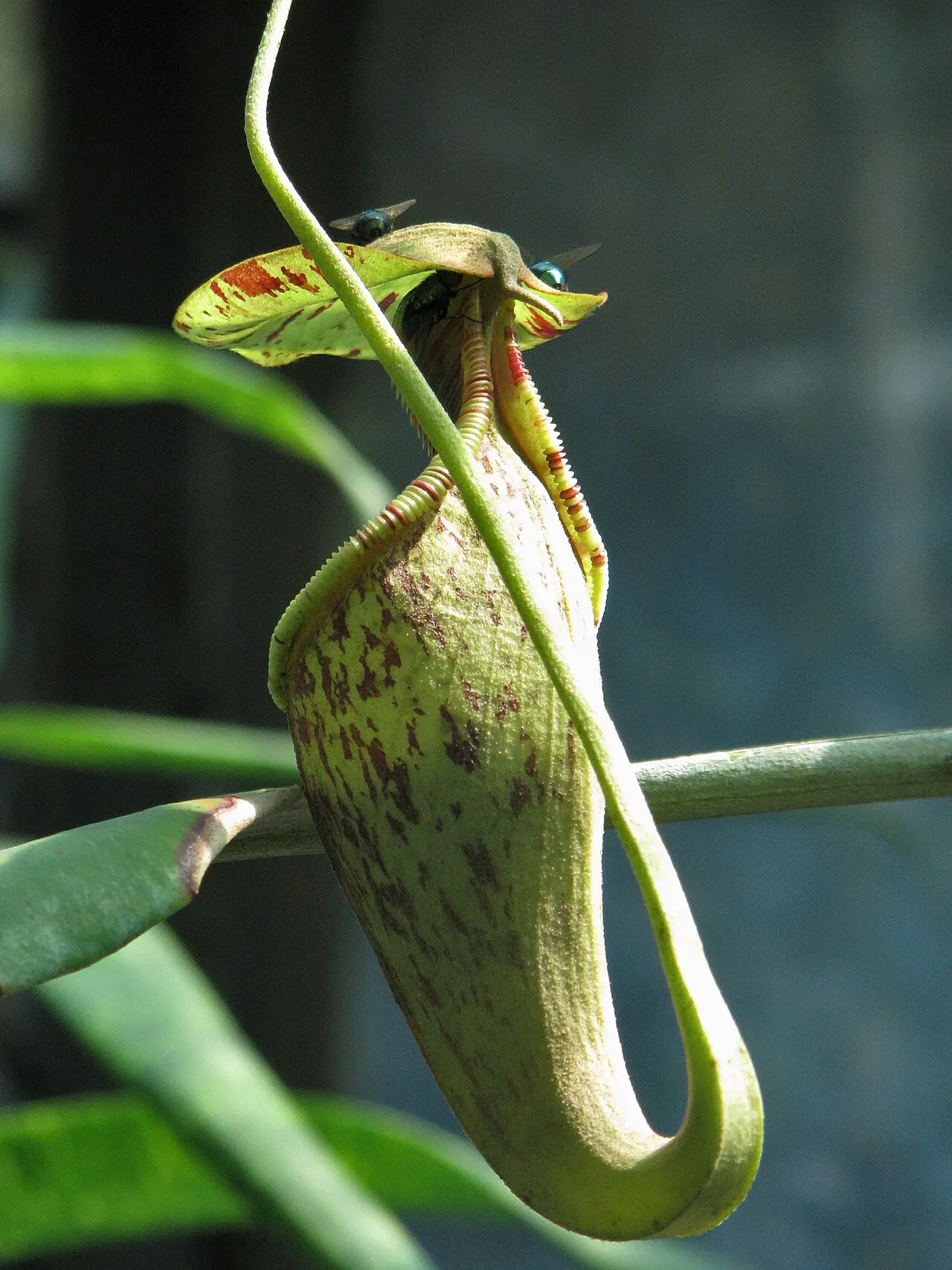
Pitcher-plant research at Habaring Hurung records Nepenthes ampullaria, N. gracilis, N. rafflesiana and N. mirabilis. Their linked profiles retain the study’s locality and do not claim that every species is present on every visitor trail.
Access
The government tourism listing documents Kereng Bangkirai–Camp Koran access. Contact the responsible tourism group and park authority about the route you want to use. Other stations and research sites may have different permissions.
Things to do
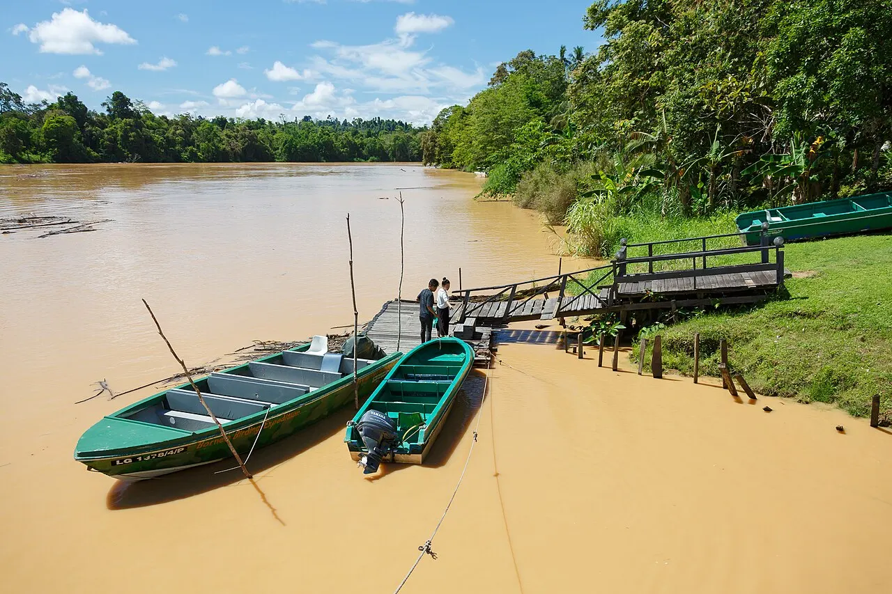
The documented Camp Koran route combines a boat journey from Kereng Bangkirai with a forest walk, including a boardwalk and a section through peat-swamp vegetation. Birdwatching and looking closely at plants offer ways to explore even without a primate encounter. Ask the host which paths are open and what the boat and walking conditions are before confirming your visit.
When to visit
Check BMKG weather and current water and access conditions with the park. Neither a dry-season label nor an old itinerary establishes present route availability.
Entrance information
Confirm entry requirements, guide arrangements and visitor rules directly before travel. Fees and opening hours are not supplied without current verification. Keep a return plan for a route that combines boats and forest walking.
Conservation
The park authority describes canal blocking and revegetation as approaches to peat restoration. Restoration is a long-term management process; a past programme total is not presented here as a current annual achievement.
Threats
Drainage, forest disturbance and fire threaten peat-swamp function. Dry conditions require particular attention to park restrictions and smoke advisories. Wildlife protection and hydrological restoration should be understood together.
Map
The marker is an approximate orientation point derived from the official published coordinate range, not a landing, legal boundary or navigable route. Use the authority’s zoning source to understand extent and confirm your actual departure point separately.
Gateway and overnight base
The published local programme is a full-day visit from Kereng Bangkirai, arranged with Pokdarwis Kereng Bangkirai. Confirm the boat, guide and entrance arrangements together. Overnight arrangements require a separate enquiry. The route's forest ground can be soft and uneven; ask about the walking surface rather than assuming the whole route is a boardwalk.
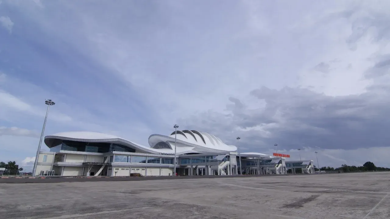
Sleep in Palangka Raya for this day-trip structure. Existing city options such as Bukit Raya Guesthouse and Swiss-Belhotel Danum are gateway accommodation, not lodges inside Sebangau. The arrival chain can start at Tjilik Riwut Airport, followed by the city and the agreed departure jetty. Keep the return transfer explicit when booking.
Reading the landscape
Use peat-swamp forest to understand why water management is part of forest protection. The Bornean orangutan is an important park association, while birdwatching and the story small species of Sebangau encourage attention beyond a single mammal. Research records establish where organisms were studied; they are not public instructions to visit those locations. Stay on the agreed visitor route and let the guide interpret what is actually present that day.