Central Kalimantan is best explored through its rivers, forest habitats and distinct local communities. Palangka Raya opens the Kahayan and Sebangau landscapes; Pangkalan Bun and Kumai connect visitors with Tanjung Puting.
A week can focus on one corridor with several river or city nights. For both, use roughly two weeks as a planning framework and reserve a full intercity travel stage; the exact programme may need more or less time. Pair a city hotel with a boat or lodge stay rather than expecting one bed to serve both landscapes. The route guide gives a worked framework, while the transport record explains the separate road and water legs.
Overview
Plan this province as several connected journeys, rather than one compact sightseeing circuit. The capital and the western park gateways serve different river systems. Begin with a base, then choose the habitats, cultural subjects and access routes you want to understand.
Geography
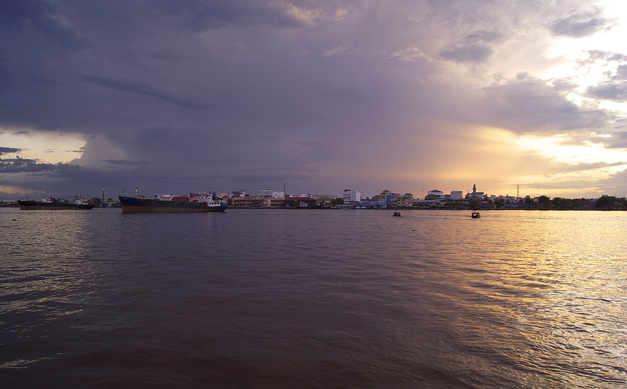
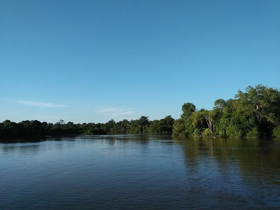
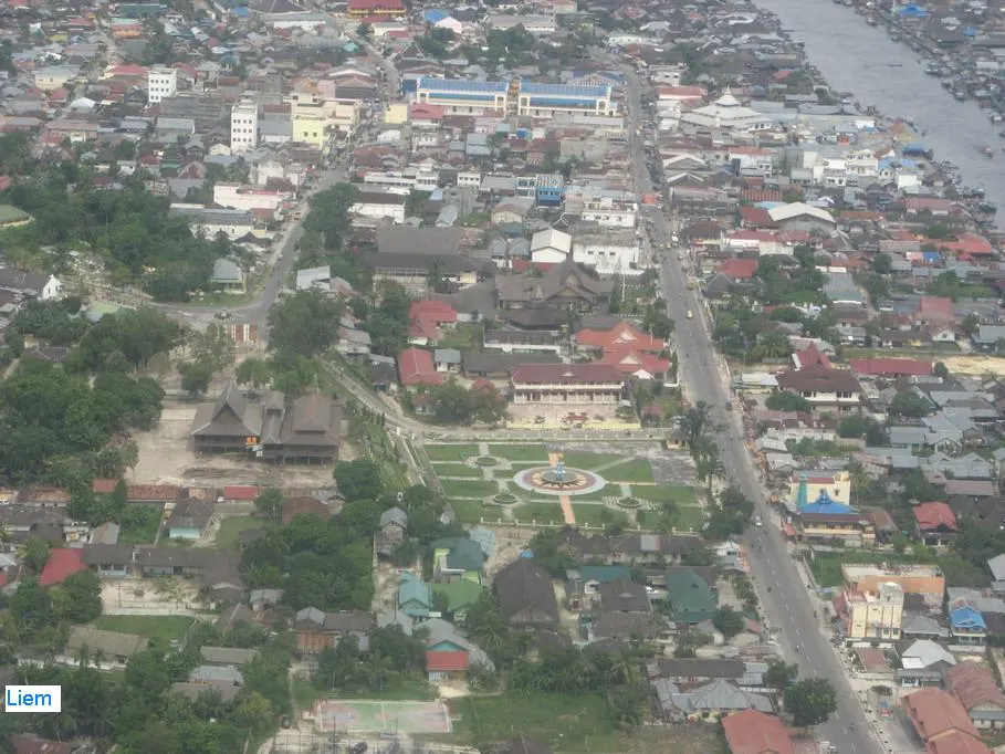
Central Kalimantan belongs to Indonesian Borneo. Its geography includes the Kahayan, Katingan and Barito river systems. Palangka Raya is the provincial capital; the gateways Pangkalan Bun and Kumai lie in the western part of the province.
Landscape
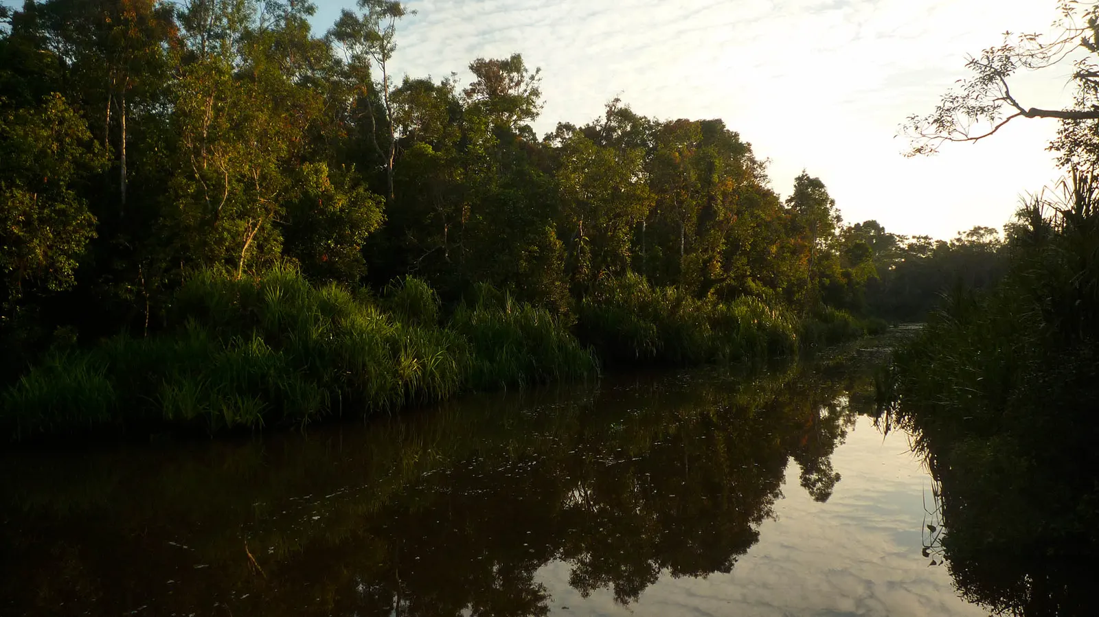
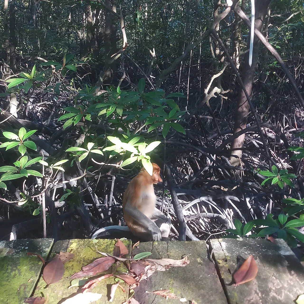
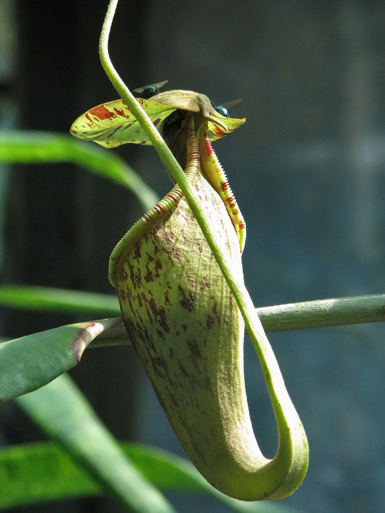
Forest is not a single habitat here. Waterlogged peat forest, freshwater swamp, dry-ground lowland forest and nutrient-poor kerangas have different soils and water regimes. Tanjung Puting also includes coastal and mangrove environments. These distinctions matter when reading a species record or planning an excursion.
Nature & wildlife
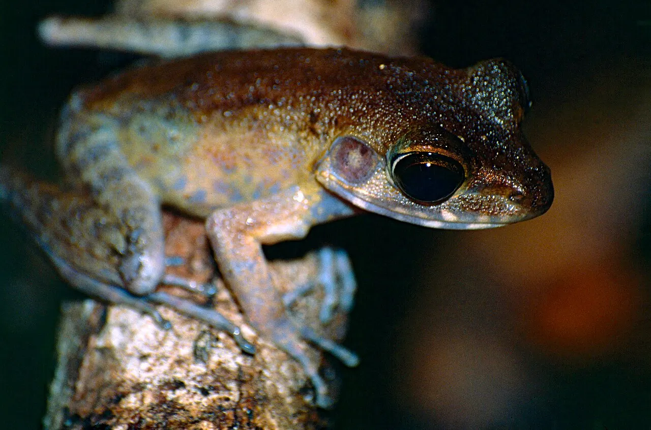
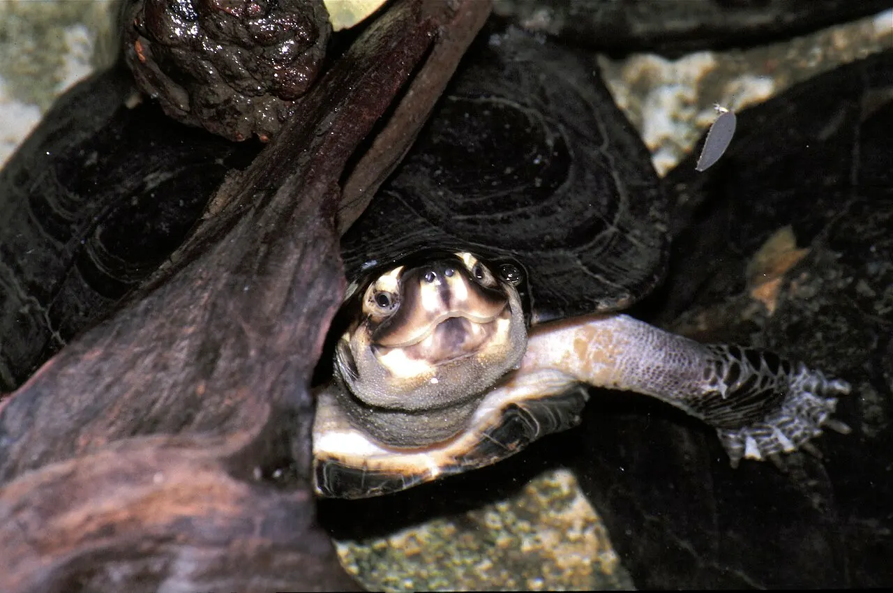
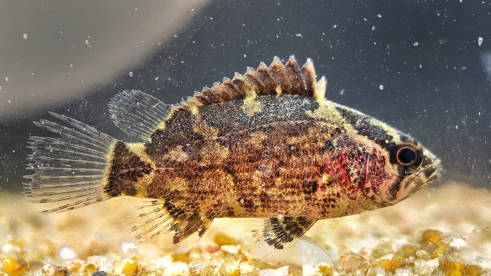
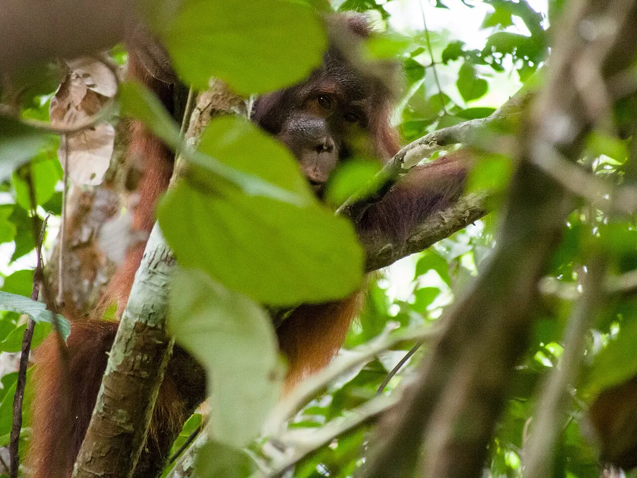
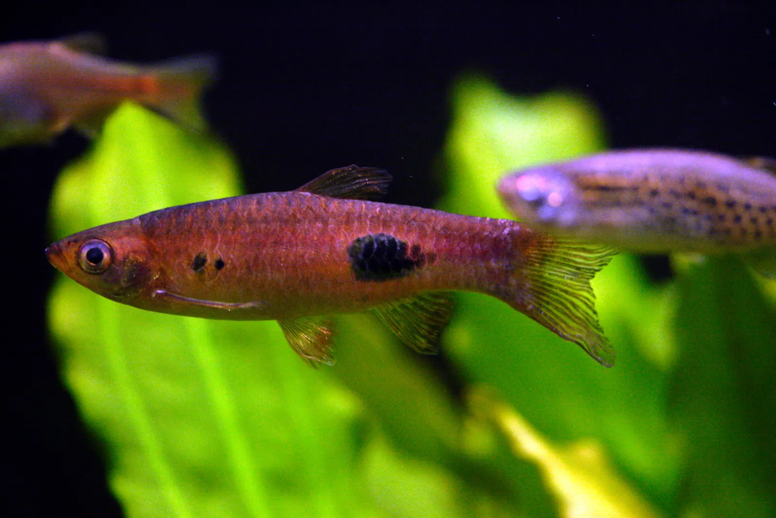
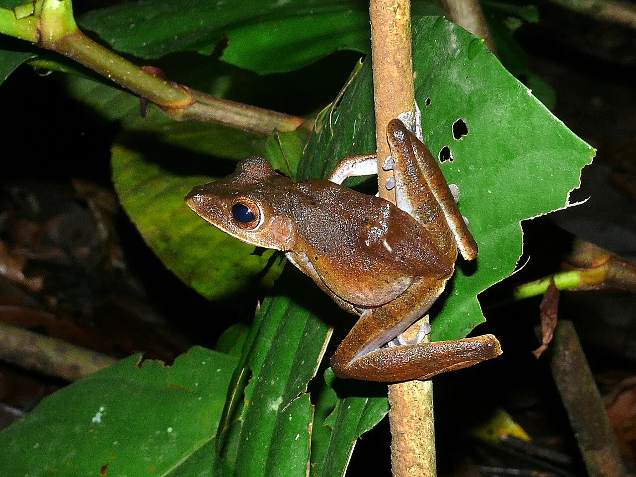
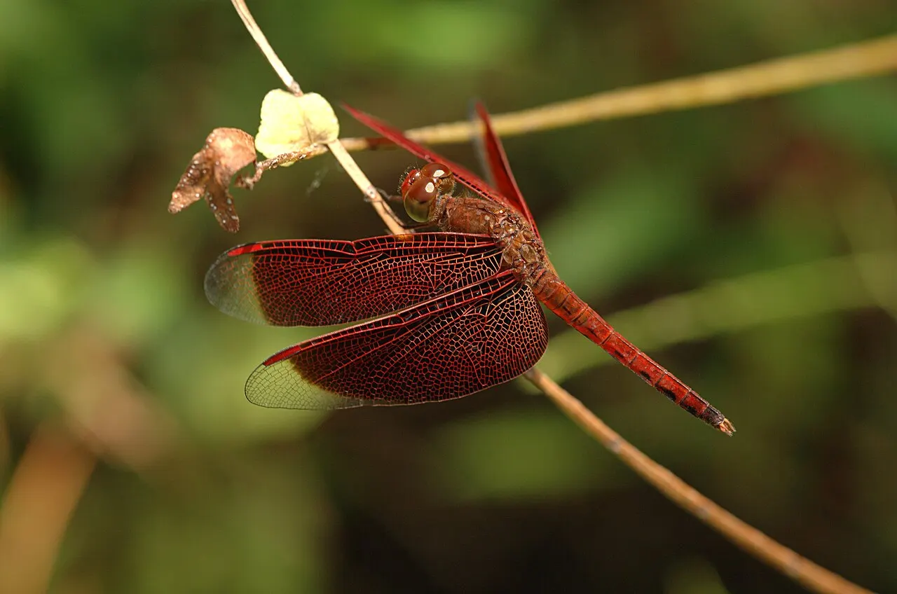
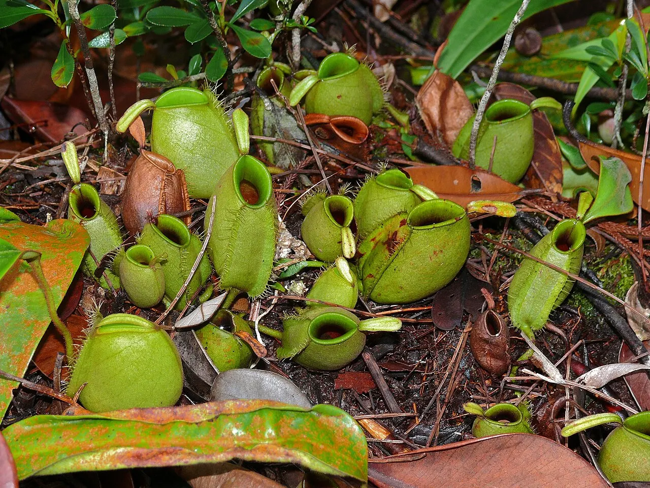
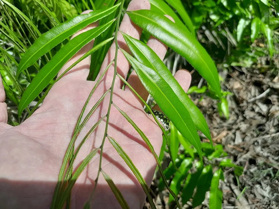
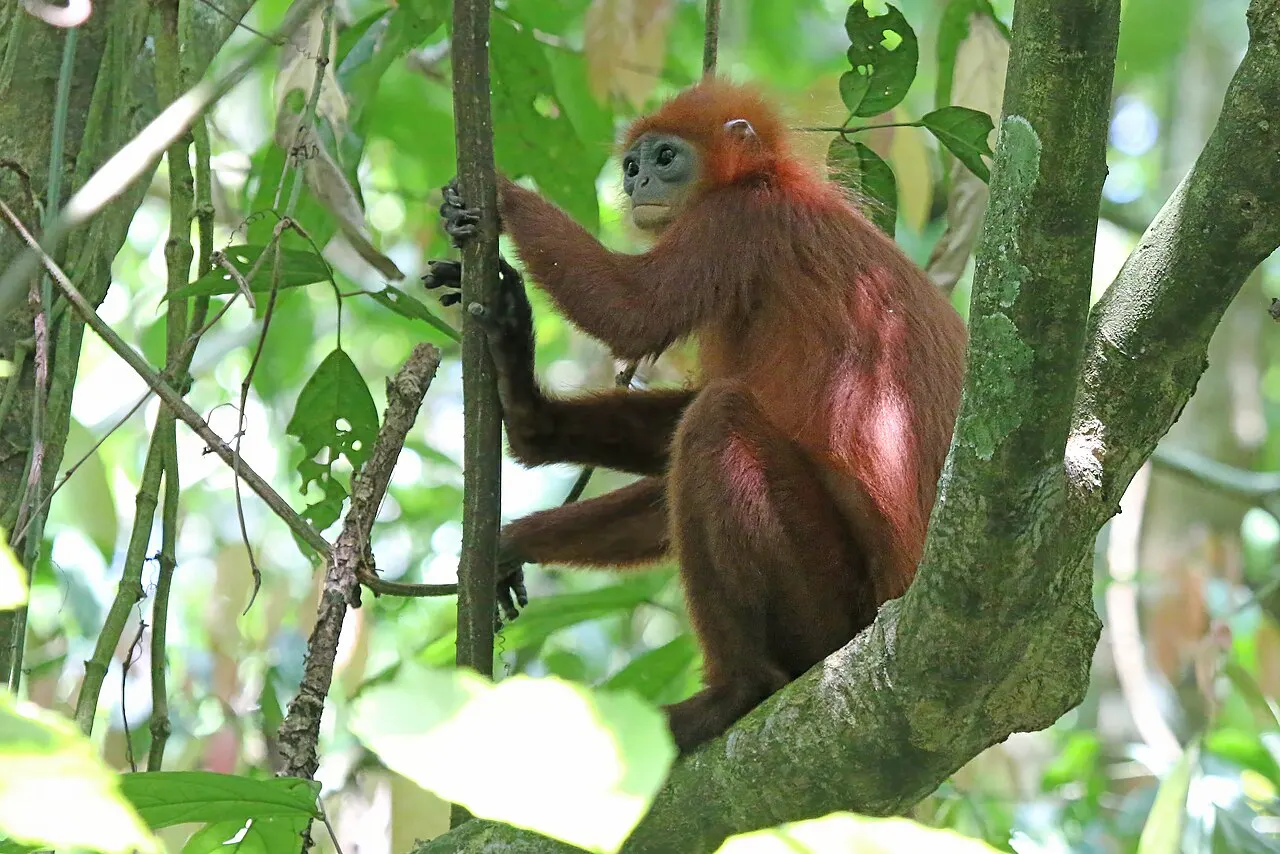
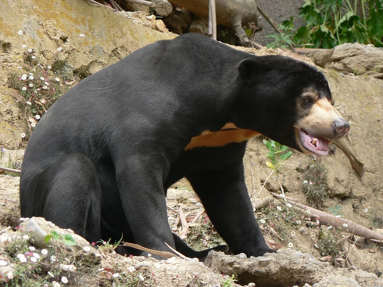
Orangutans are an important part of the province’s conservation story, but a fuller picture includes birds, reptiles, amphibians, fish and plants. Our species pages distinguish province records from named study sites. A published occurrence supports an ecological connection; it does not guarantee a visitor will see the species.
Important nature areas
Sebangau protects a major peat-swamp landscape near Palangka Raya and across Katingan and Pulang Pisau. Tanjung Puting offers a different lowland and coastal habitat mosaic reached through the western gateways. Read each park’s access information separately; one park’s permits or boat arrangements should not be assumed to apply to the other.
Culture
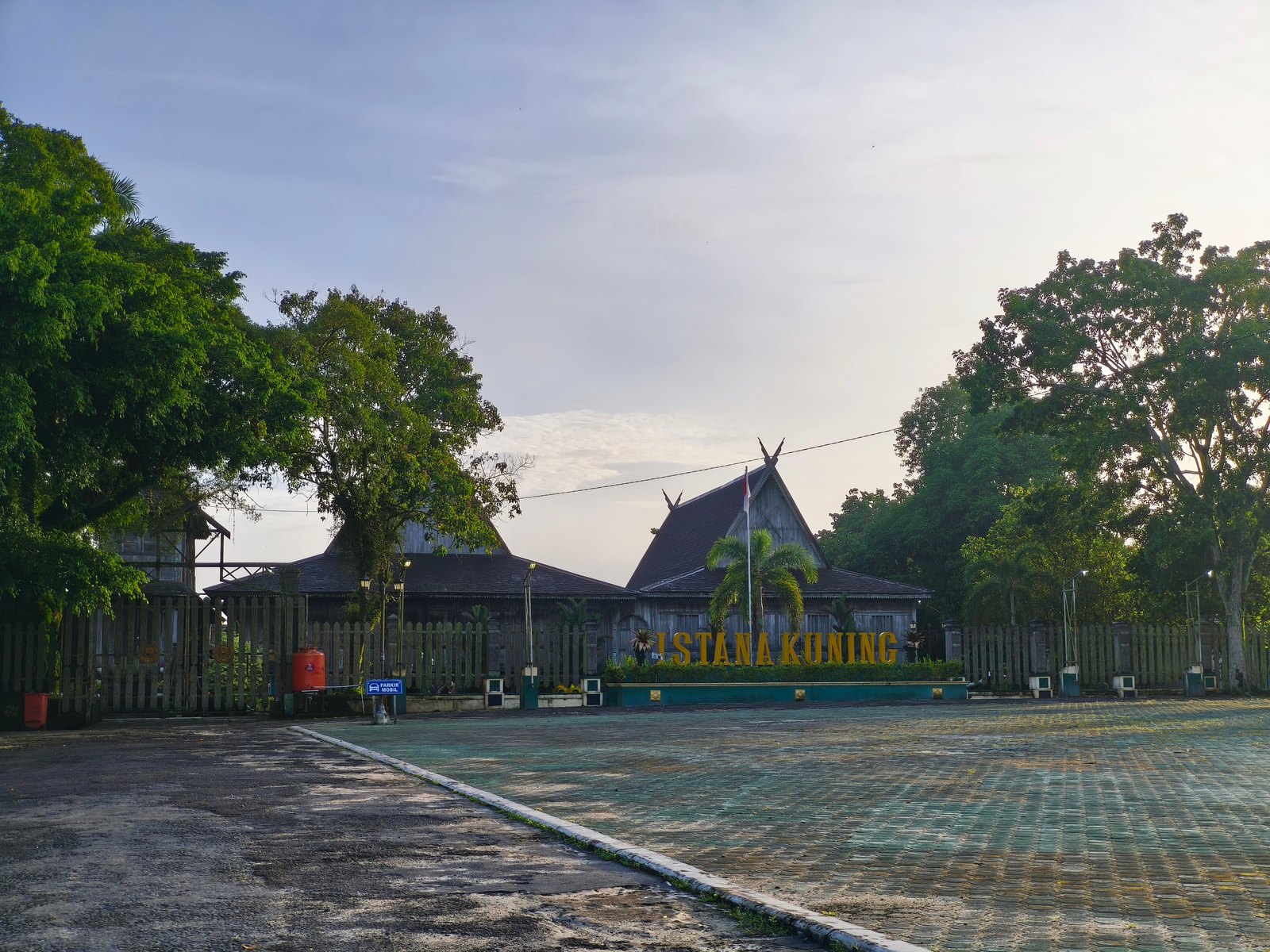
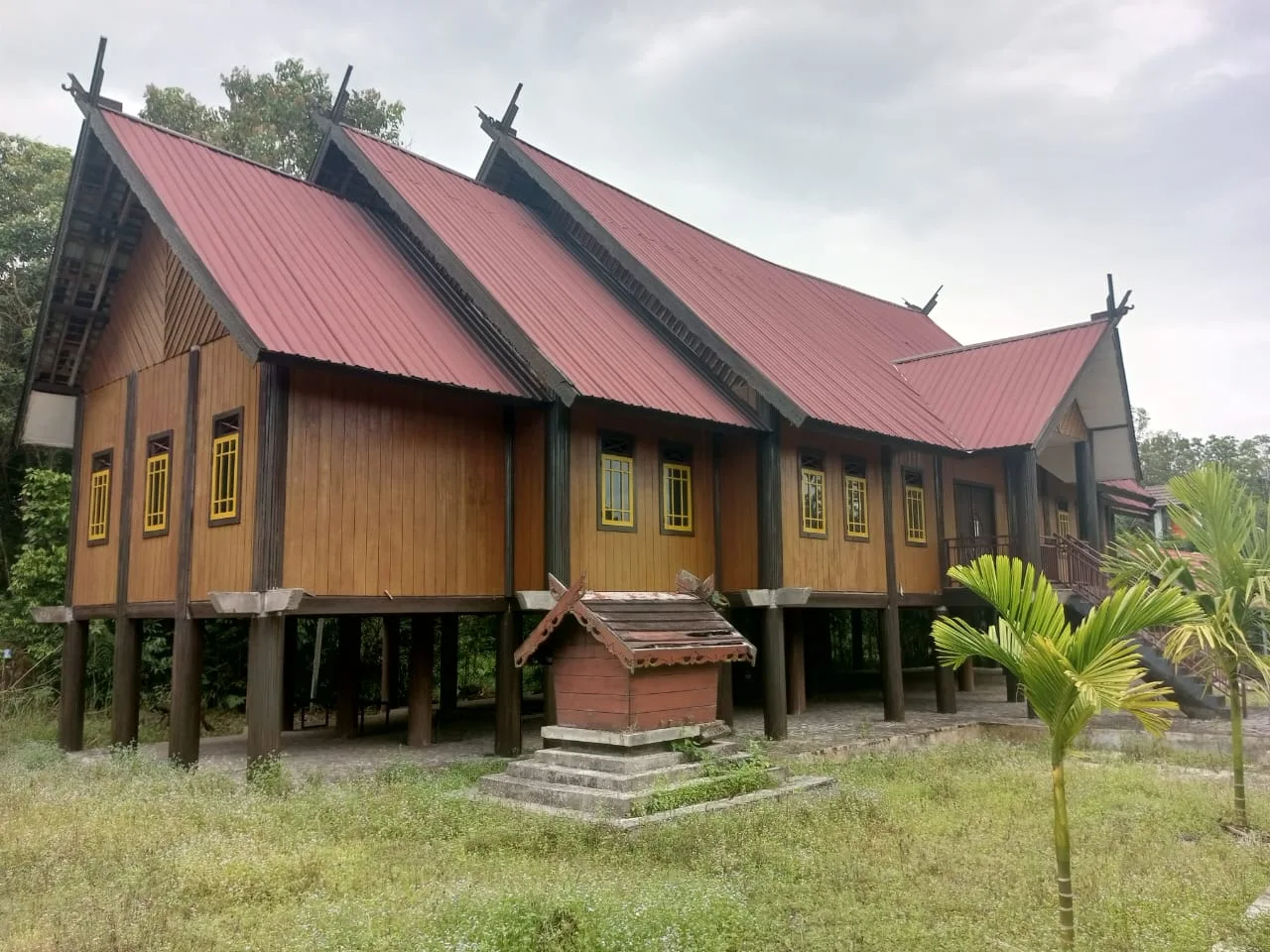
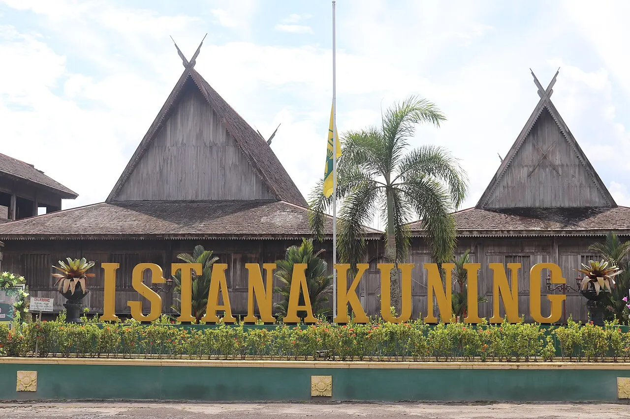
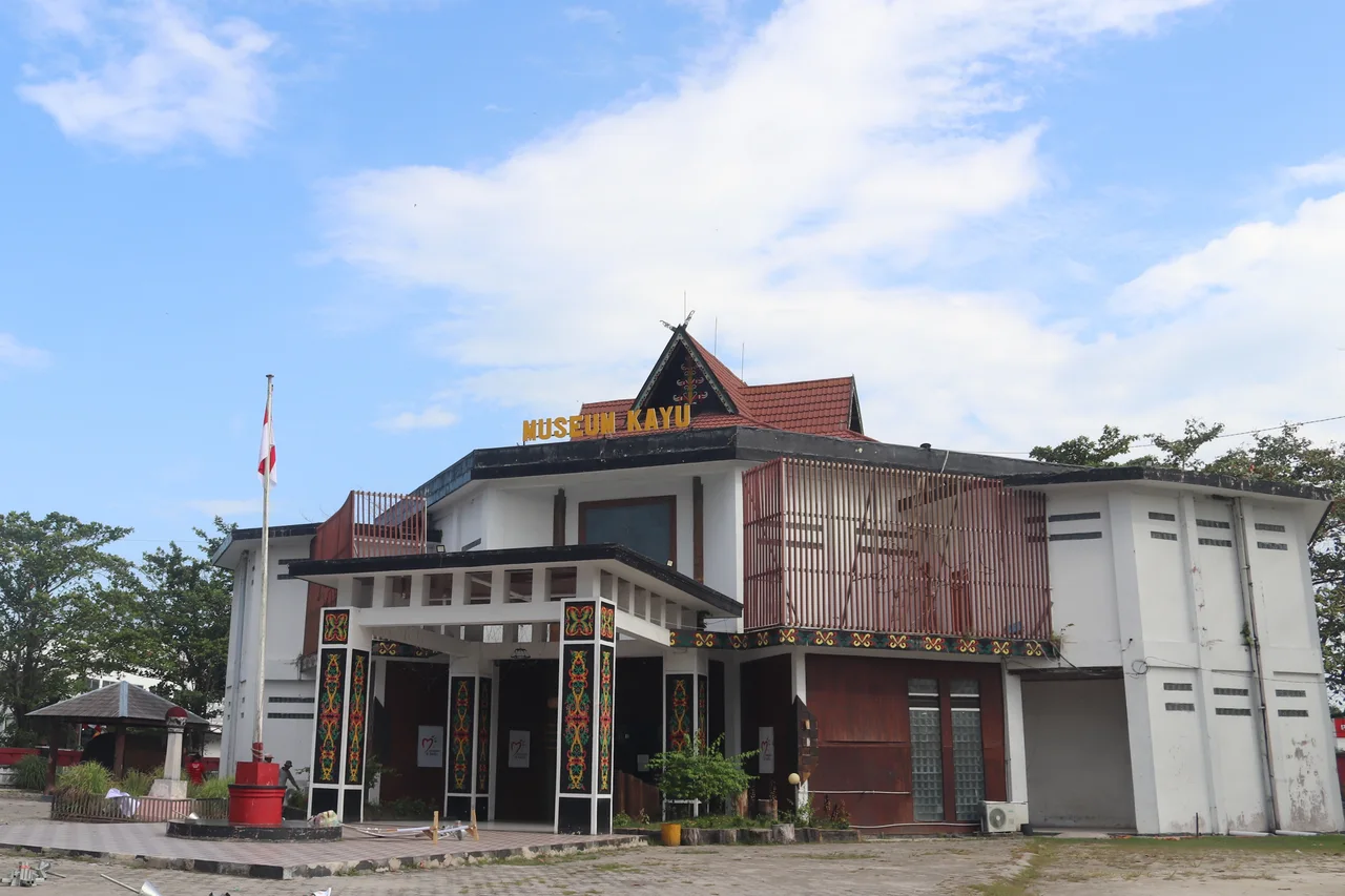
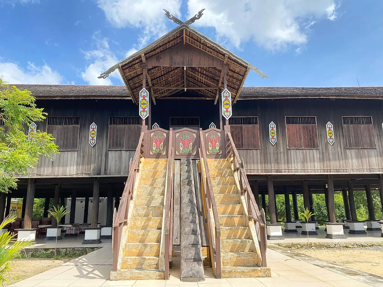
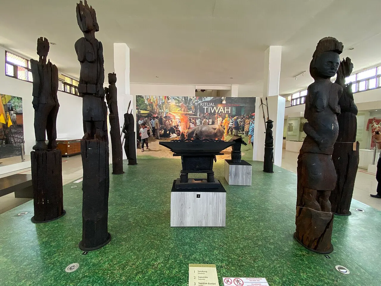
Use specific community names. Ngaju language and heritage are documented in Central Kalimantan, while “Dayak” refers to many distinct peoples rather than one uniform culture. Language, religion and contemporary ways of life vary. Museum interpretation is a useful starting point, followed by listening to the people whose heritage is being discussed.
Food
Regional food records begin with juhu singkah uwei, pounded cassava-leaf preparations called kalumpe or karuang, and fermented wadi. Regional association does not establish exclusive origin. Ask what is in a particular serving: fish, meat and shrimp paste can change its suitability for different diets.
Cities & destinations
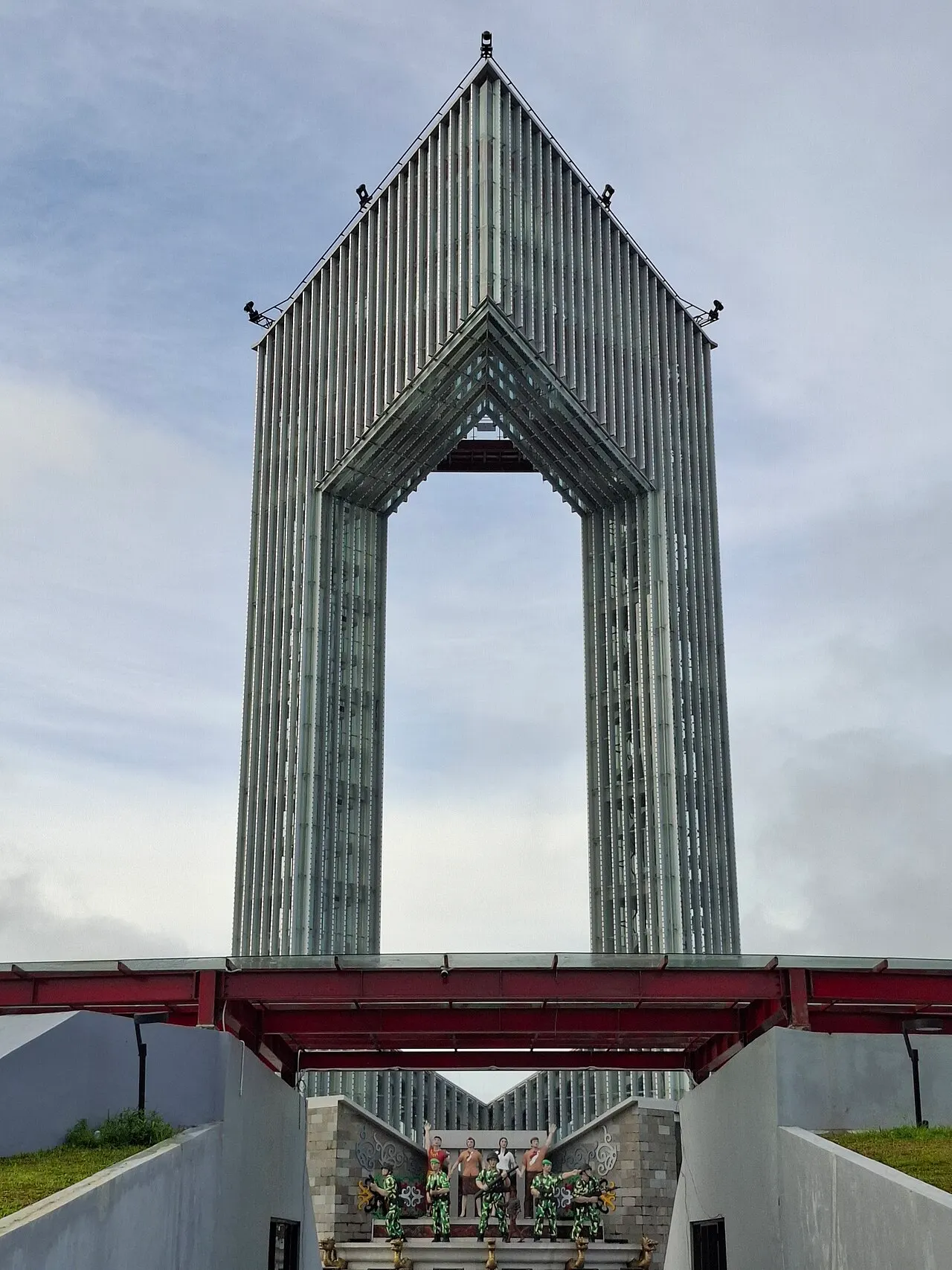
Palangka Raya is the main base. Pangkalan Bun provides a western town base and airport connection; Kumai is a river and sea gateway. Within Palangka Raya, Kereng Bangkirai is a documented access community for Sebangau. It remains beneath the city in the geographic hierarchy.
Things to do
Choose guided forest observation, birdwatching, river travel or museum visits according to your interests. These are editorial activity categories, not sold tour packages. Access to a forest route, rehabilitation setting or cultural event must be confirmed with its responsible hosts.
Getting there
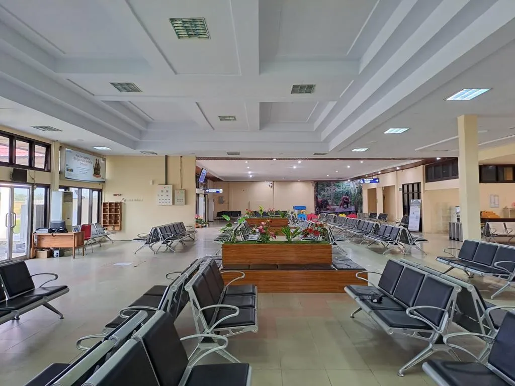
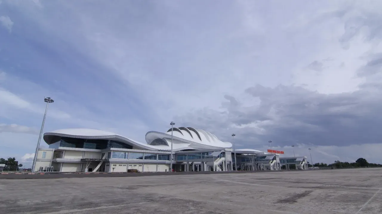
Tjilik Riwut Airport (PKY) serves Palangka Raya. Iskandar Airport (PKN) serves the Pangkalan Bun area, useful for the western gateways. Choose your arrival airport around the places you intend to visit, then check current flights directly. The guide does not freeze airline routes or timetables into its pages.
Getting around
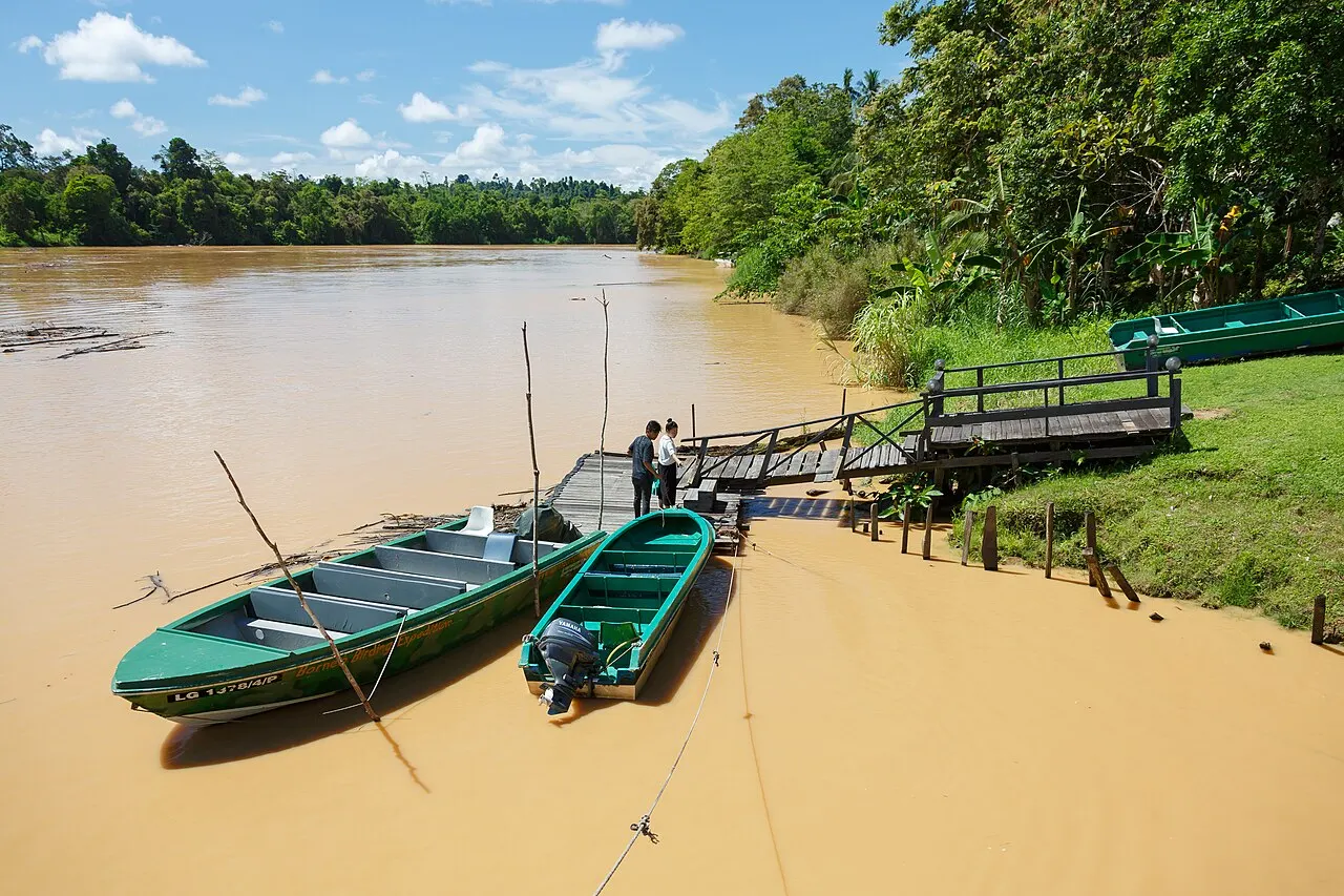
Overland and river legs do different jobs. Road transfers connect the main town bases; boats provide access to particular river and park routes. Confirm pickup points, luggage arrangements and onward connections before departure. Distances alone do not describe the time or conditions of a journey.
Climate
The province does not have one identical seasonal pattern. BMKG divides Central Kalimantan into climate zones and publishes seasonal outlooks alongside short-range forecasts. Rain remains possible in a drier period. Conditions in a northern district should not be projected automatically onto a southern river route.
When to visit
Match the date to the route instead of relying on a single universal “best month”. Ask park staff about water levels, route availability and current restrictions, and consult BMKG before travel. Drier weather can ease some journeys, but prolonged dry conditions and smoke can also disrupt plans.
Practical information
Keep independent journeys and protected-area visits distinct. Confirm permits and visitor rules with the park, and practical arrangements with the service provider. Treat map markers as orientation rather than trail navigation. Maintain flexibility for weather and changes in access; wildlife encounters and commercial availability are never guaranteed here.
Places to stay
Swiss-Belhotel Danum in Palangka Raya and Rimba Orangutan Ecolodge on the Sekonyer route offer different settings: a city base and a lodge reached by boat. Compare their locations, facilities and access arrangements through the accommodation profiles and official websites.
Related stories
Read the linked stories for the relationships behind the place names: water and peat, forest wildlife, city history, Ngaju perspectives and regional ingredients. Each story connects to the underlying place, habitat or cultural records so that you can follow the evidence in both directions.
Discover · Plan · Book
Choose your experience first, then arrange a base and the necessary transfers. These links connect the places and practical information reviewed for this destination.